"Not Gone with the Wind" Esri Storymap
A story of the unexpected Hurricane Harvey using Esri StoryMaps narrative
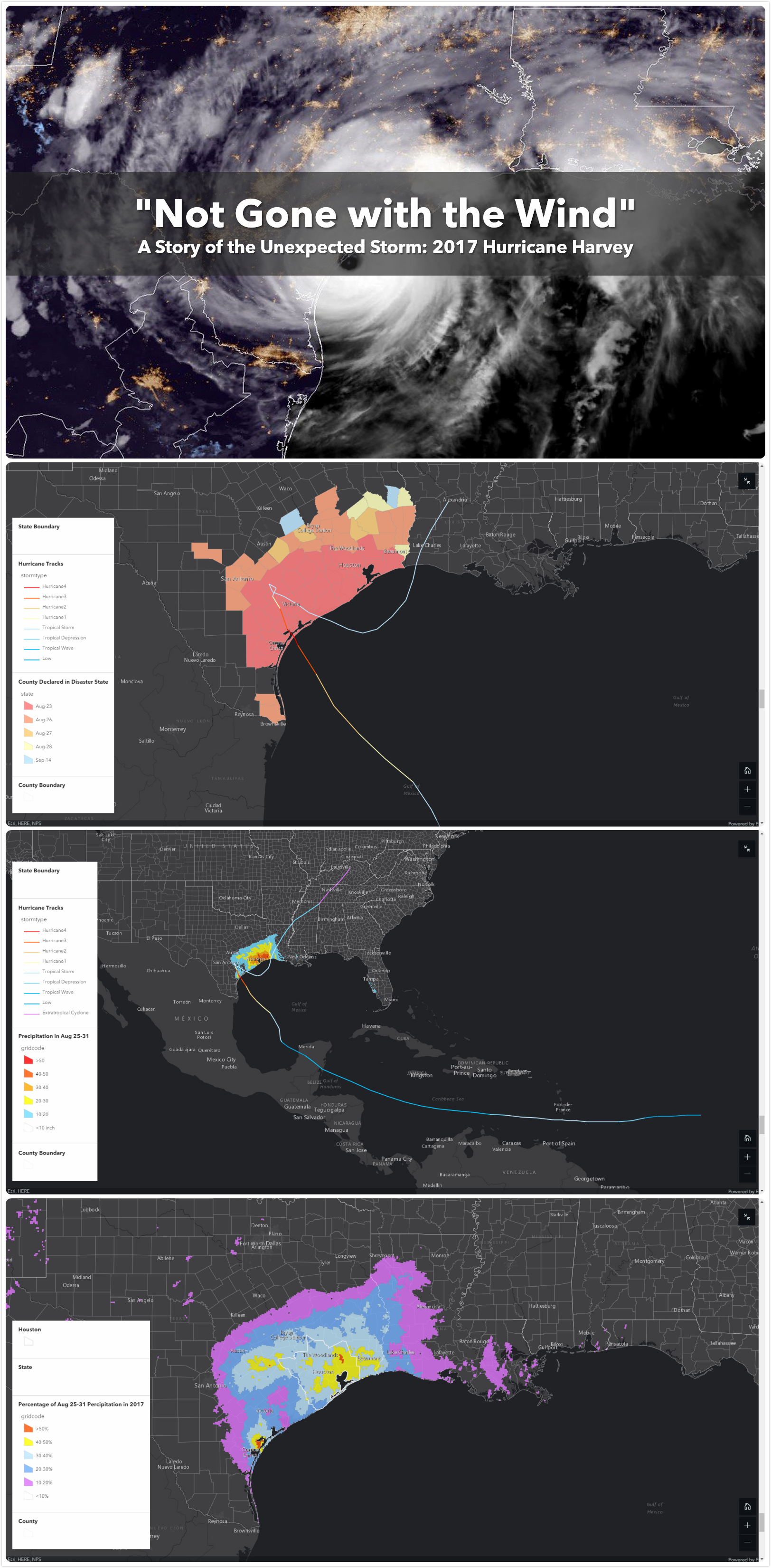
This is an Esri StoryMap product to introduce the Category-4 Hurricane Harvey in 2017, the (tied)
costliest Hurricane that hit the United States (125 billion, 107 deaths), also
leaving the record of the highest level of rainfall, bringing serious flooding in the Houston Area. The
evacuation policy is one of the most controversial topic during this event, as
Texas governor and many mayors issued volunteer or mandatory evacuation order, while the City of Houston
didn’t encourage people to do so according to prior experience in 2005. This
chronological story map illustrates the major stages during these processes with the development of
Hurricane Harvey, as well as the long-term aftermath.
Click
to view the Esri StoryMap (full window for best experience), or
download
the converted PDF version.