Static Map Series for Covid-19 Pandemics in Madison Area
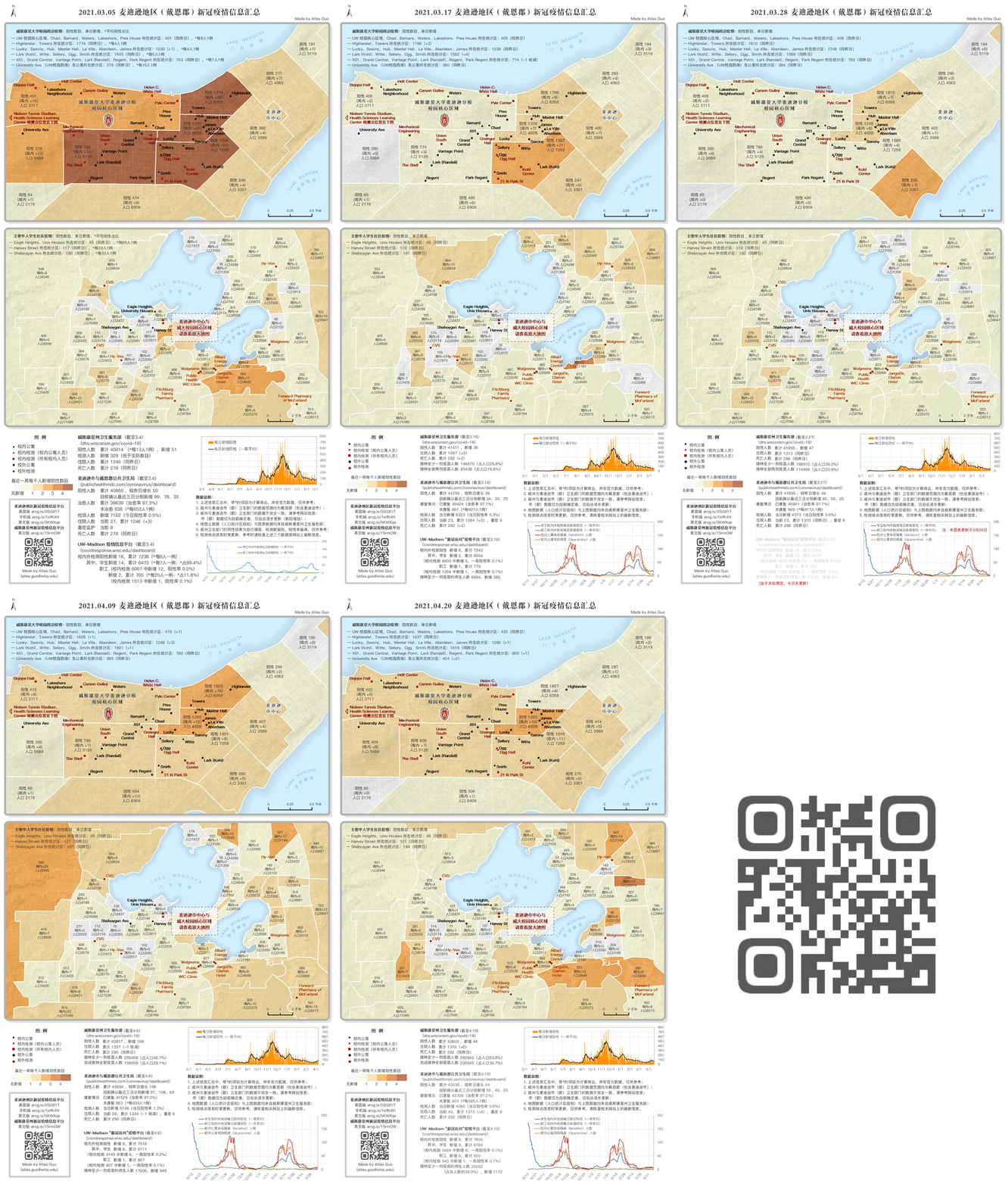
Over 800 daily infographics with maps for MADNEWS
This map series is the daily static map showing the covid condition in Madison area, focusing on the
UW-Madison campus area, as well as other relevant information from Wisconsin
Department of Health Services, Public Health Madison & Dane County, and UW-Madison COVID-19 Response.
I had been serving as the voluntary covid-19 cartographer for MADNEWS since summer 2020, and later as
the Director of Technology. From summer 2020 to spring 2023, I've made a total
of 823 such infographics and posted daily (later weekly) for MADNEWS.
I also made interactive version of this map, as well as corresponding dashboards (English, Chinese) in
desktop and mobile version. They are further introduced as another map.
MADNEWS is the largest Chinese media platform (WeChat public account) in Madison, Wisconsin.
Click
to view the Facebook Group of MADNEWS (different content from the WeChat account).

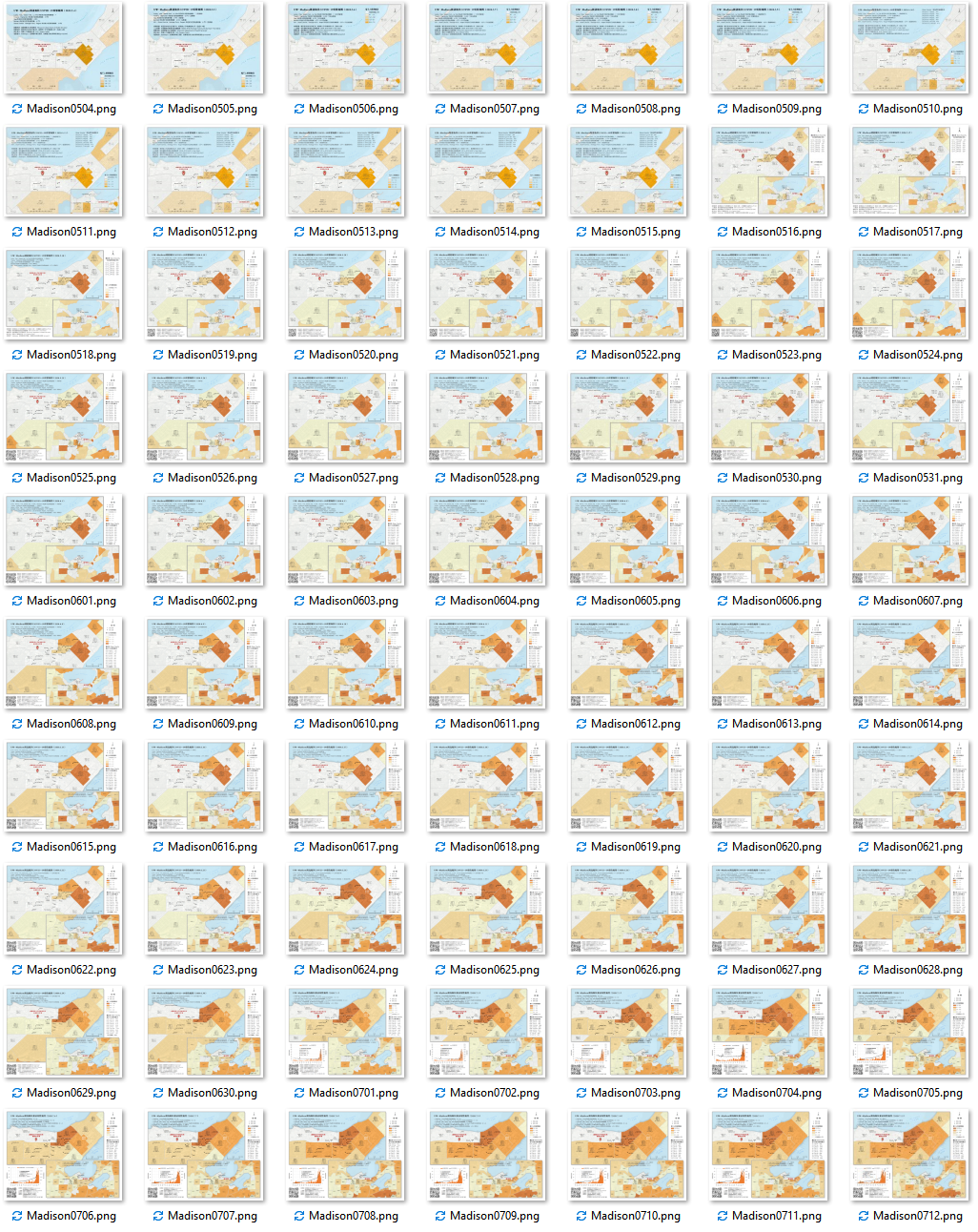
Below are the original version of this map series, starting from May 4th, 2020, focusing on UW Campus - Capitol region:

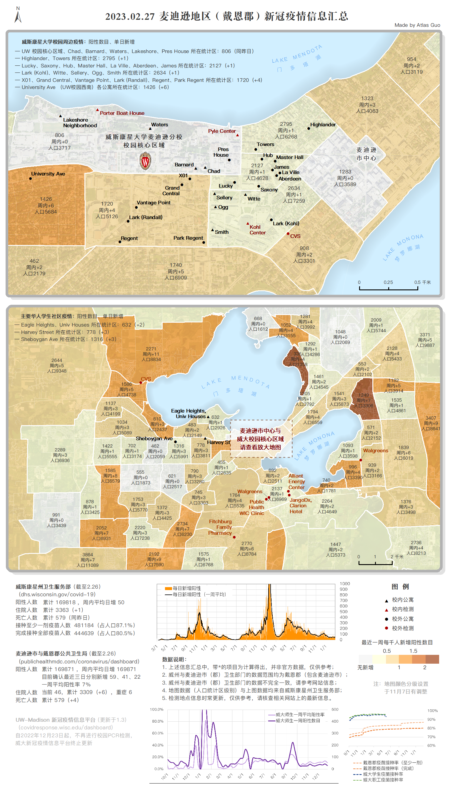
Below is the last static map I made in this series, on Feb 27, 2023, after the major data source stopped the data update.
