LEGO Topographic Map of Illinois
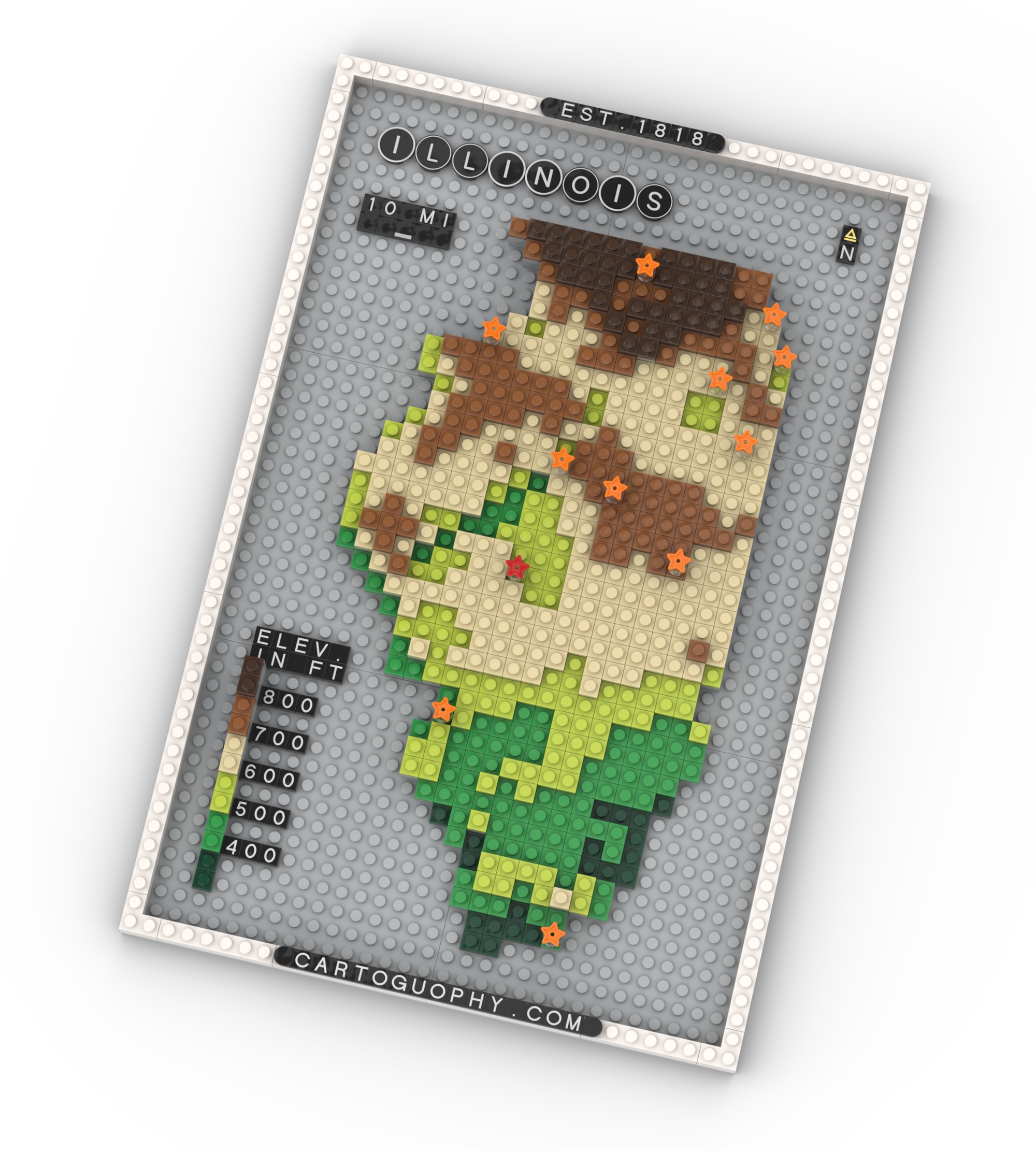
A LEGO-style elevation map of Illinois with major cities.
 Download Compressed Image
Download Full-Size Image
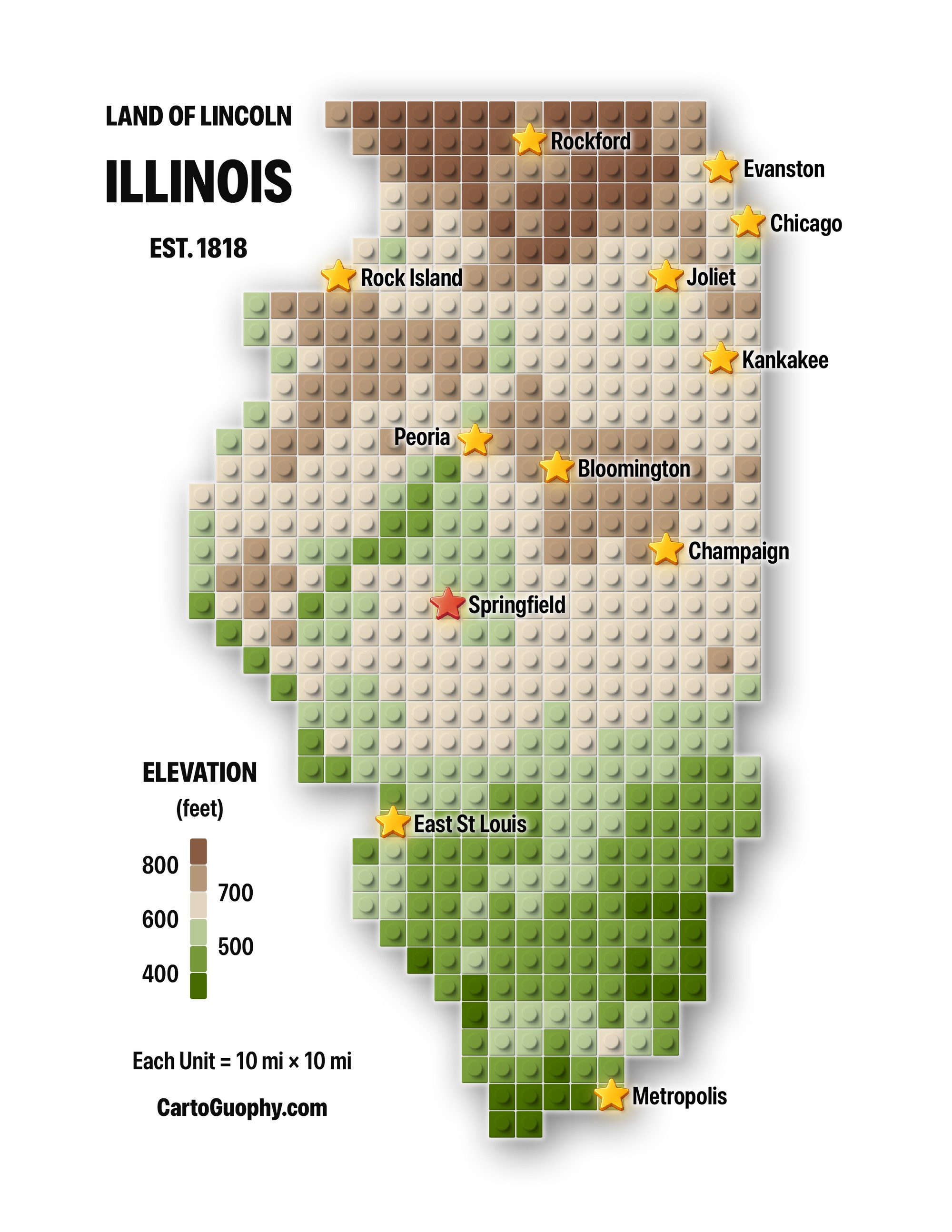
This LEGO-style elevation map uses earth-toned and green pieces to depict Illinois as a grid of 10-mile units, showing terrain variation while marking Springfield and other major cities.
The second image shows the graphic version of the map.
 Download Compressed Image
Download Full-Size Image
Click to view more of my LEGO maps!