LEGO Topographic Map of West Virginia
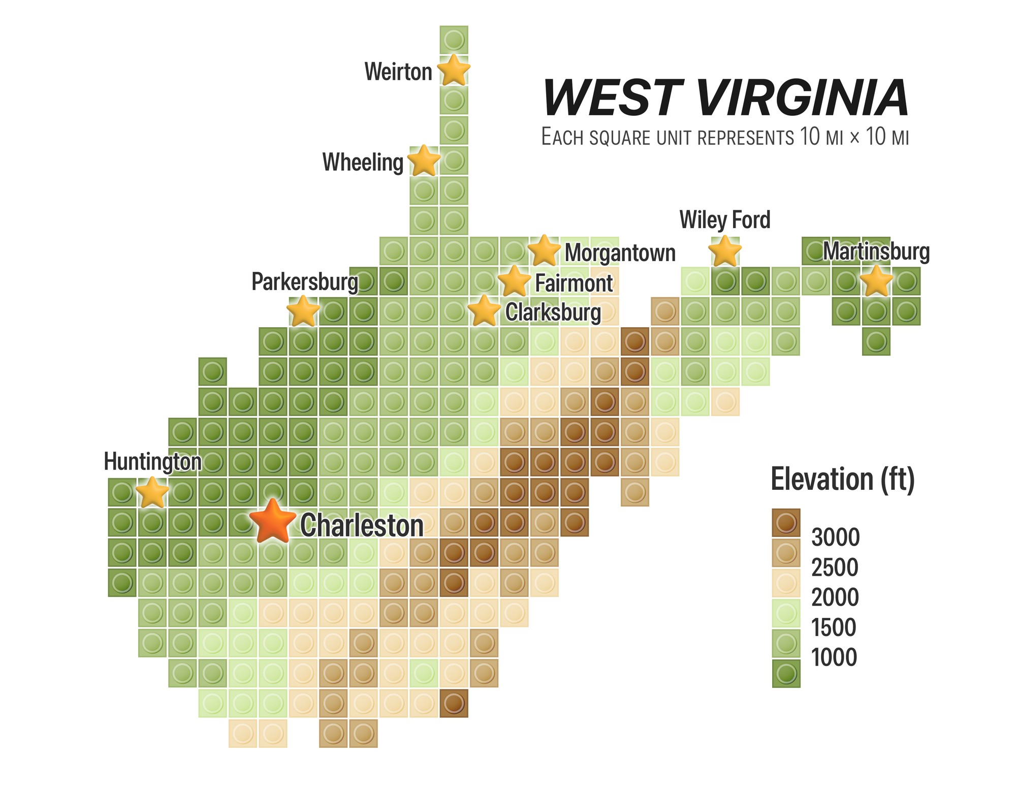
A LEGO-style elevation map of West Virginia with major cities.
 Download Compressed Image
Download Full-Size Image
This LEGO-style elevation map portrays West Virginia through a grid of 10-mile units, using a green-to-brown terrain scale and star markers to identify Charleston and other cities across the state.
Click to view more of my LEGO maps!