Great North American Eclipse on 4.8.2024
1st Place of Student Maps (University and Postgraduates) in Esri UC 2024 Map Gallery
 Download Compressed Image
Download Full-Size Image
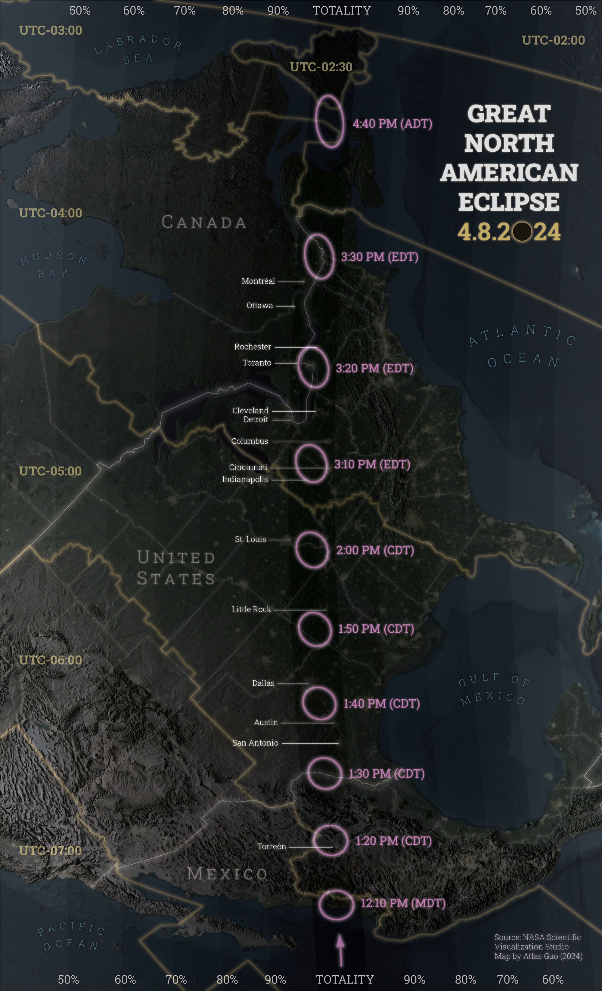
This is a map for the Great North American Eclipse on April 8 of 2024, indicating the path of total
eclipse (central dark belt), as well as the partial eclipse areas (gradient
lighter belts on both sides) with different percentage. Major cities in Mexico, United States, and
Canada are highlighted to help the public decide their destination to observe this
astronomical event. Furthermore, the local peak time as well as the corresponding time zone information
are clearly indicated for referencing. Compared to normal eclipse map, one of
the innovations is the oblique orthographic projection flowing the moving path. The iconic design of
number “0” for would also help invokes the atmosphere of this amazing wonder.
Data Source: NASA Scientific Visualization Studio.
View the
Wikipedia
Page
to learn more about this solar eclipse.
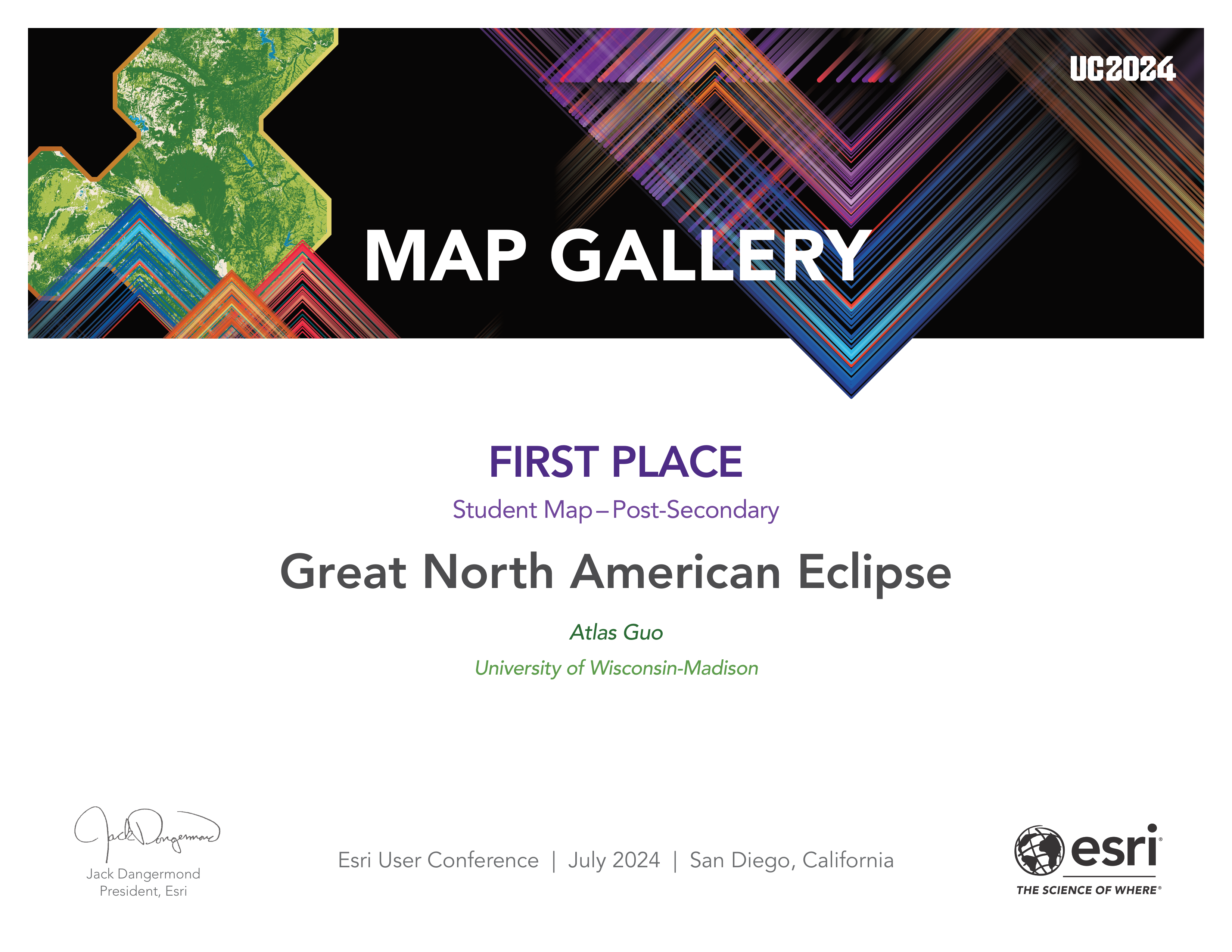
This map won the
1st Place of Student Maps (University and Postgraduates Group)
during the Esri User Conference 2024.

A printed map is on display with Canadian Map Gallery at
Map Industry Summit:
Toronto
on August 22, 2024, by International Map Industry Association (IMIA), and will be at
Canada’s National GoGeomatics Expo
in Calgary on October 28-30, 2024.


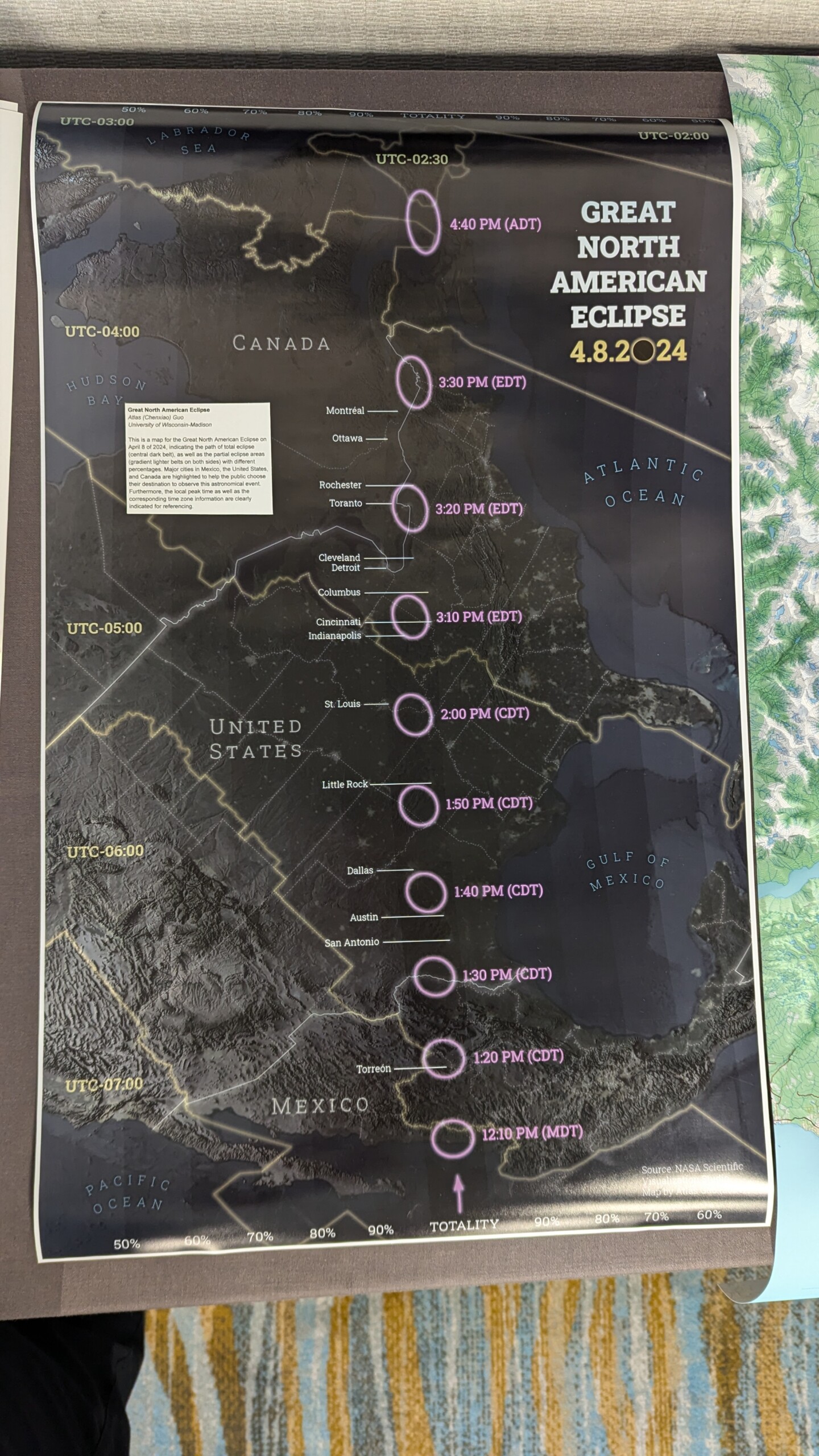
A printed version of this map was displayed in the Map Gallery of North American Cartographic Information Society 2024 Annual Conference at Tacoma, Washington.