U.S. Historical Hurricanes Geovisualization
Group project of interactive map application based on Leaflet and D3 package
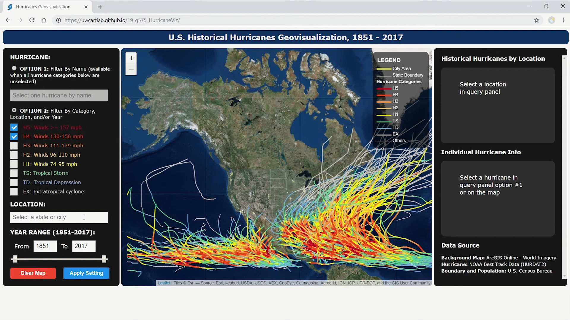
This is a group project from UW-Madison Course Geog575 "Interactive Cartography and Geovisualization"
(Spring 2019). The interactive map application is built based on Leaflet,
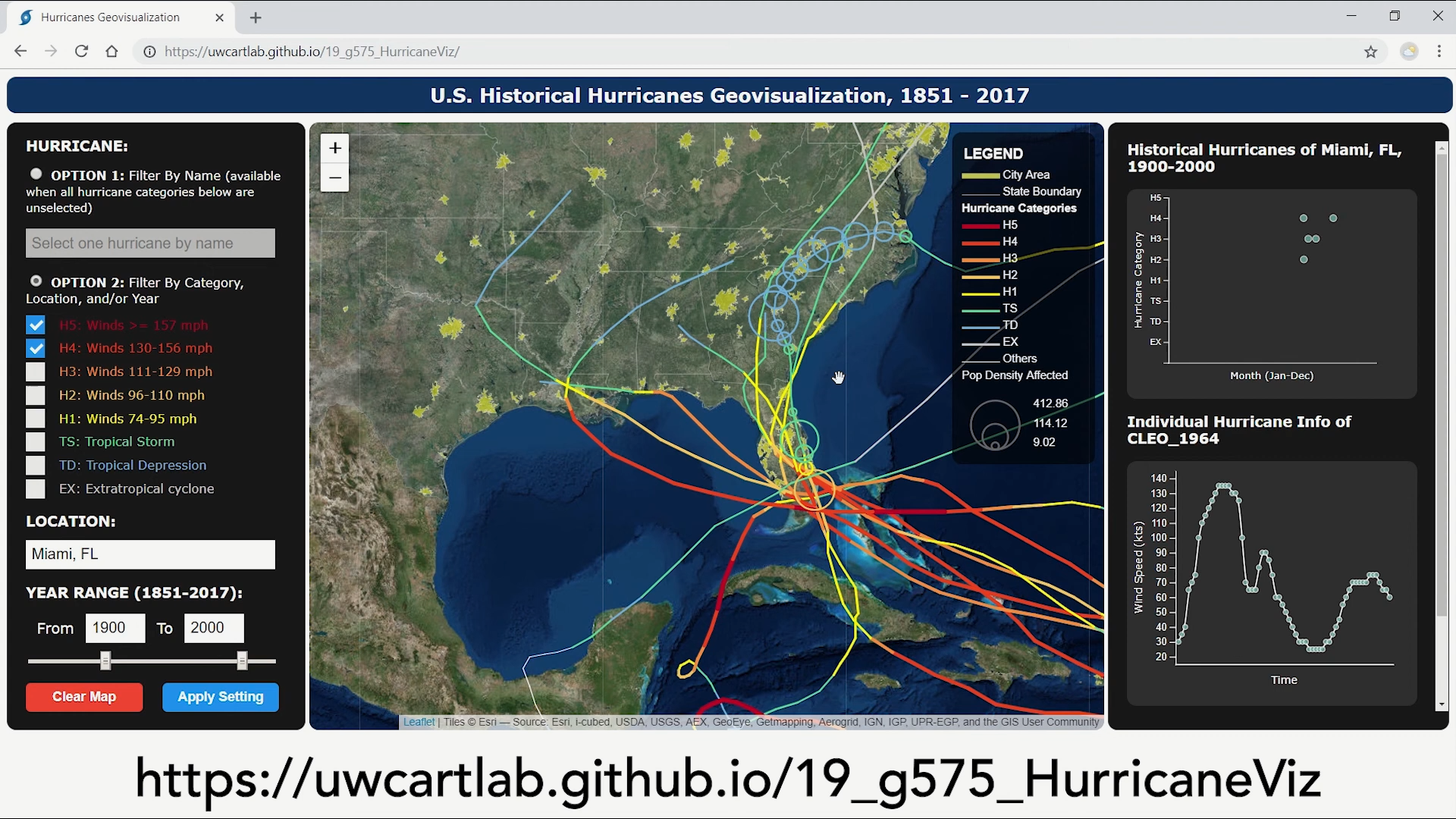
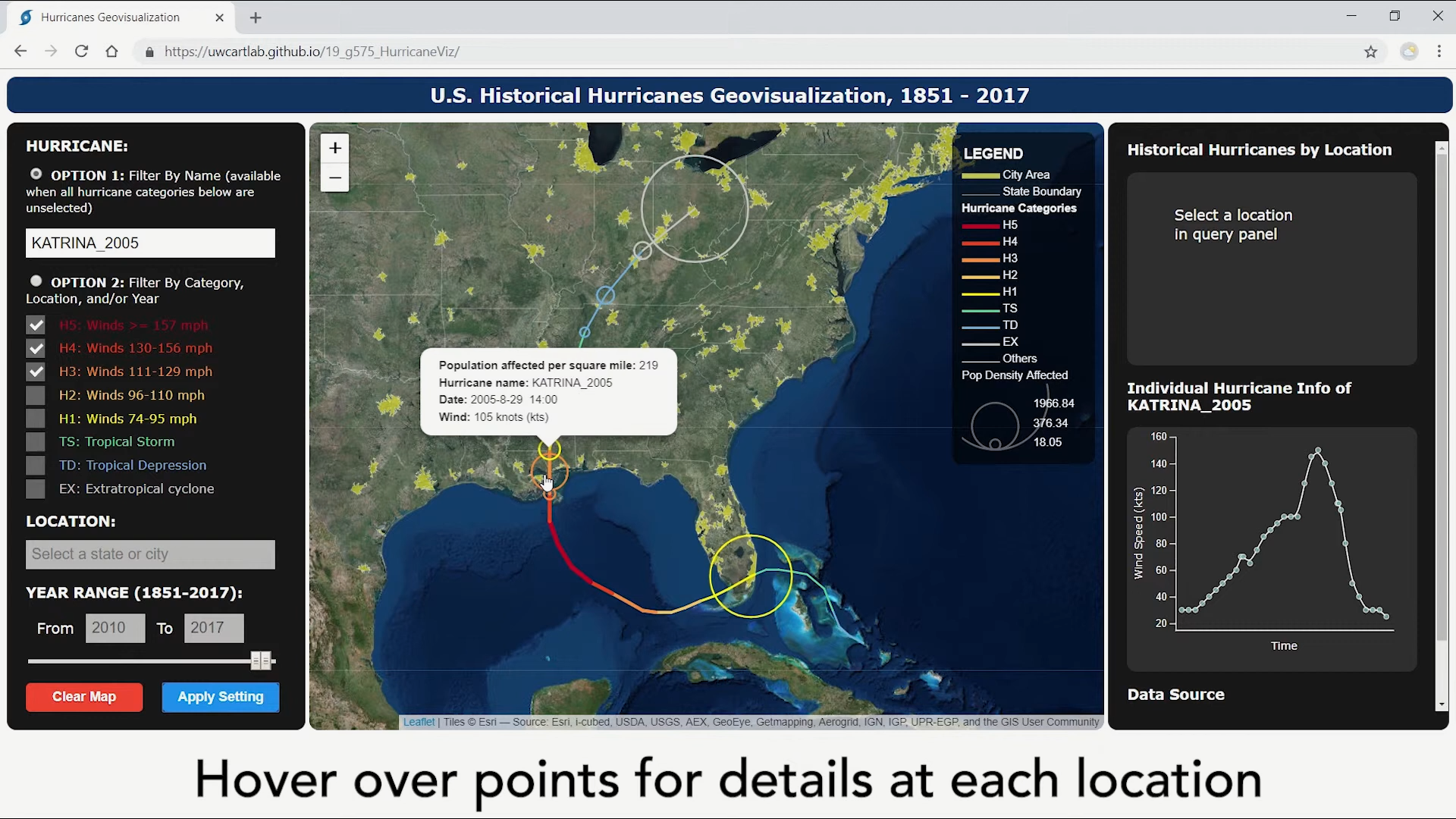
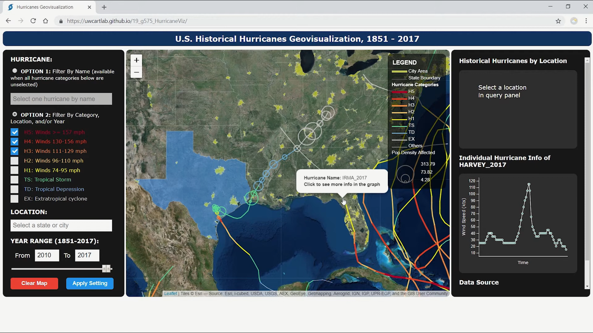
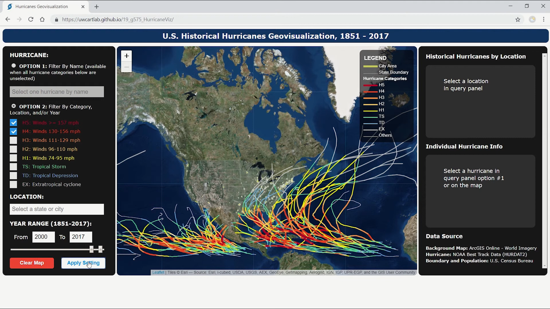
jQuery, D3, jQueryUI, turf packages, providing functionality to query historical hurricanes (1851-2017)
based on storm name, category, location (state/city), and/or year.
Click
to view the Application (full window for best experience).
View the introduction video on
YouTube
(no sound).