Land Flowing with Milk and Honey
A non-political and non-religious map calling for peace in Israel and Palestine
 Download Compressed Image
Download Full-Size Image
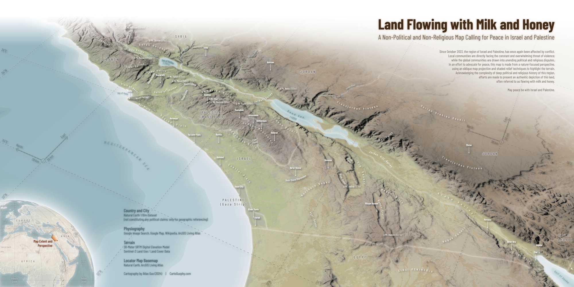
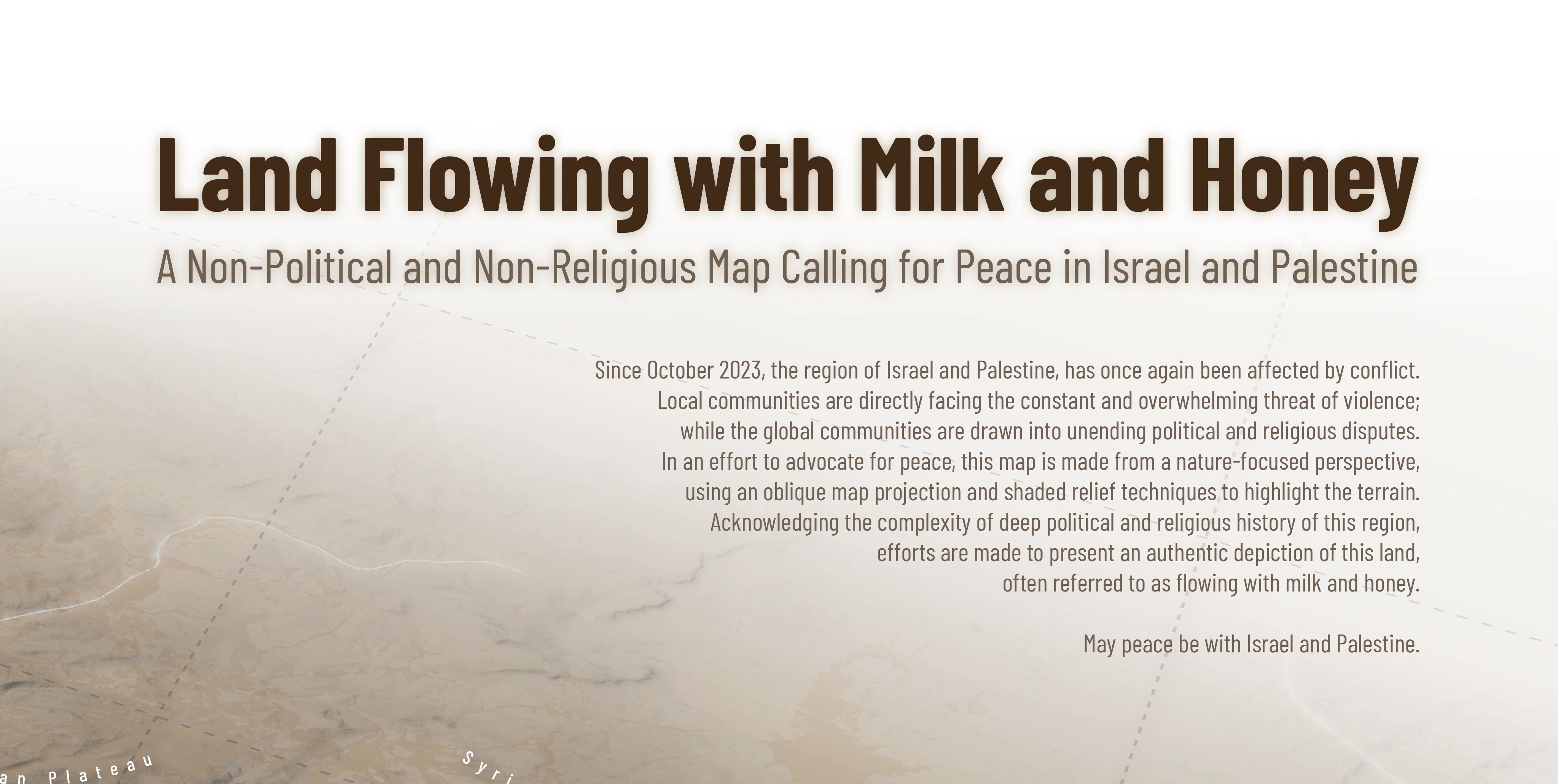
Since October 2023, the region of Israel and Palestine, has once again been affected by conflict. Local communities are directly facing the constant and overwhelming threat of violence; while the global communities are drawn into unending political and religious disputes.
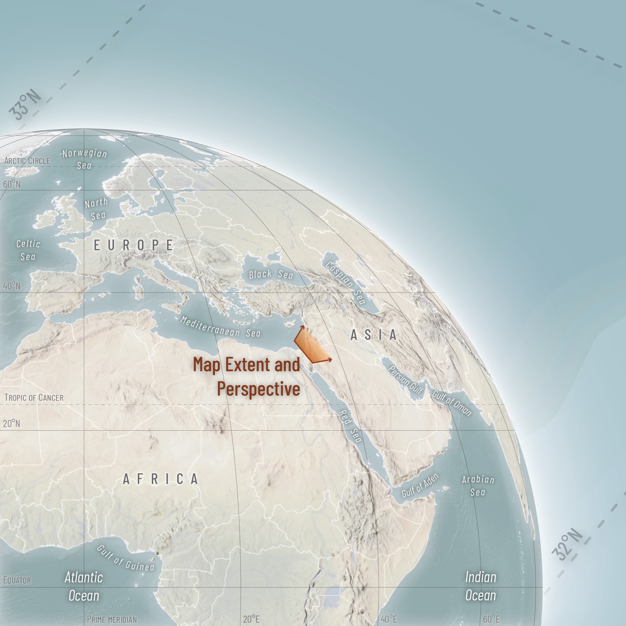
In an effort to advocate for peace, this map is made from a nature-focused perspective, using an oblique map projection and shaded relief techniques to highlight the terrain. Acknowledging the complexity of deep political and religious history of this region, efforts are made to present an authentic depiction of this land, often referred to as flowing with milk and honey.
May peace be with Israel and Palestine.
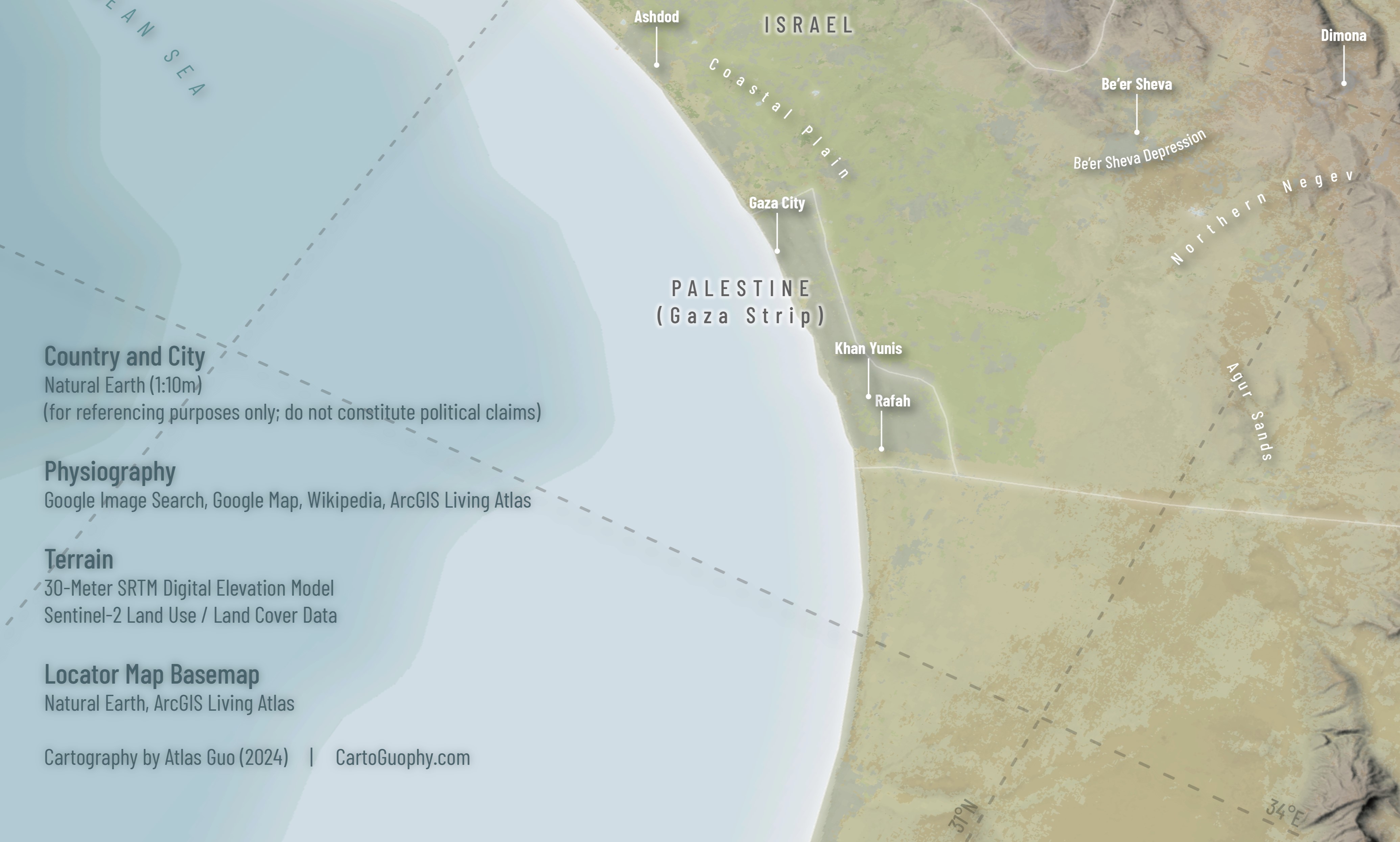
(Data Source: 30-Meter SRTM Digital Elevation Model, Sentinel-2 Land Use / Land Cover Data, Natural Earth, Google Image Search, Google Map, Wikipedia)
A printed version of this map was displayed in the Map Gallery of North American Cartographic Information Society 2024 Annual Conference at Tacoma, Washington.
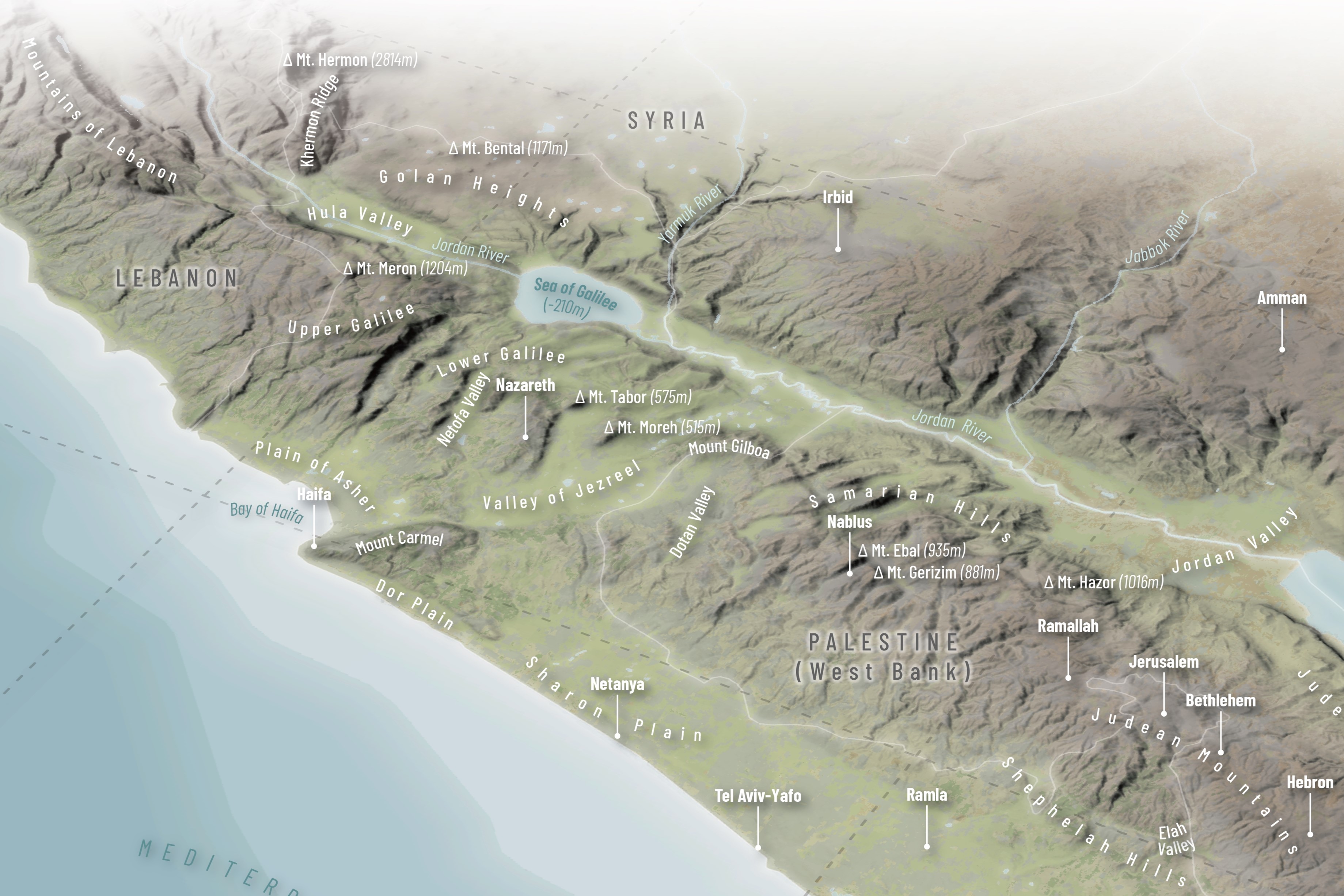
Below are some trimmed images of this map:
This map was selected in the "Map With A Message" Award Finalist in Esri User Conference 2025 Map Gallery.