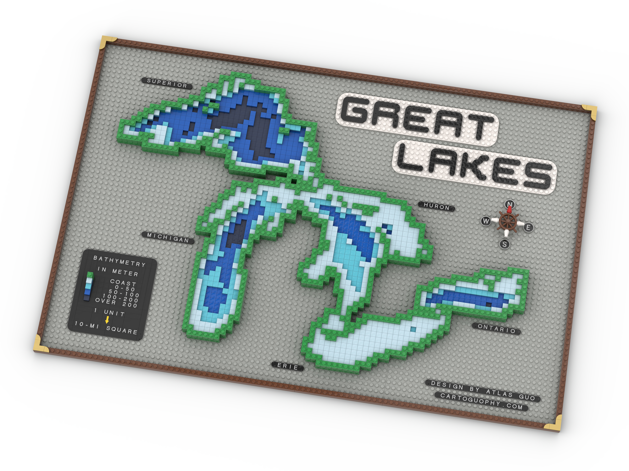
LEGO Bathymetric Map of the Great Lakes
Inland seas rendered with blue depths and surrounding landforms showing bathymetry
 Download Compressed Image
Download Full-Size Image
This LEGO map visualizes the geography of the Great Lakes region, using different colored tiles to represent the depth of water bodies (bathymetry). The intricate shorelines of Lakes Superior, Michigan, Huron, Erie, and Ontario are carefully recreated using individual LEGO elements, providing an engaging perspective on one of North America's most important freshwater systems.
Click to view more of my LEGO-Style maps!