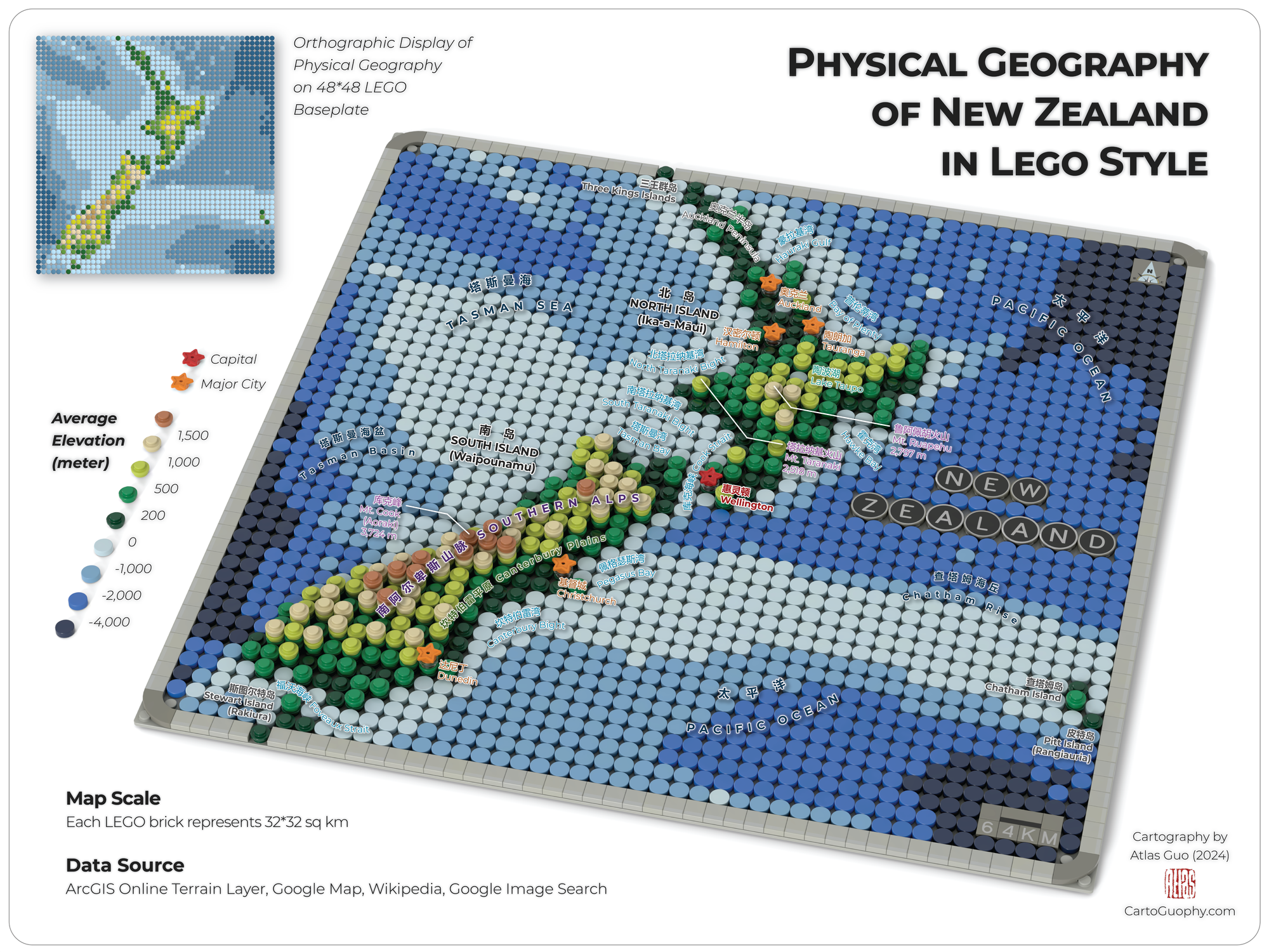
Physical Geography of New Zealand in LEGO Style
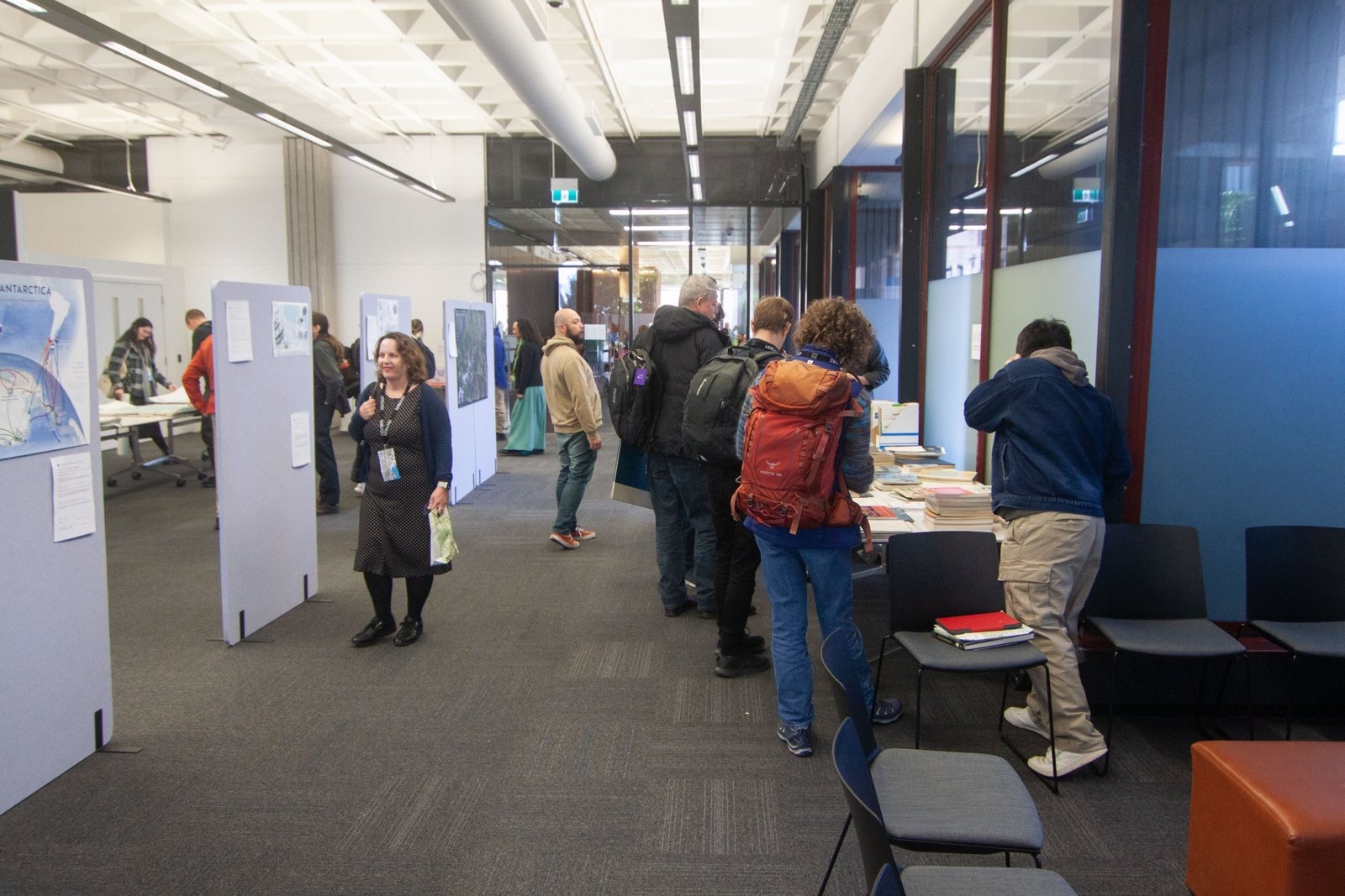
Displayed on Map Exhibition of GeoCart'2024, New Zealand's National Cartographic Conference
 Download Compressed Image
Download Full-Size Image
With prior experience of making the award-winning LEGO style topographic maps of Wisconsin and Colorado, I am interested in exploring the visualization of complete physical geography including bathymetry, and New Zealand is a great case. Furthermore, I try to combine this casual form of cartography with precise labeling of geographic features. I probably assume both LEGO enthusiasts and map nerds would love it, and it might be used for education or tourism. Lastly, as a native Chinese speaker, adding the bilingual labels is not super challenging, while significantly expands the range of audiences.
The map was first designed with topography and bathymetry in ArcGIS Pro, using 32*32 sq km as the fishnet unit. Then it was manually replicated into LEGO Studio; with map elements added, it was rendered as an image with 3D effect. Lastly, the labels are added in Illustrator, as well as other graphic design and final polishing. Major data sources include ArcGIS Online Terrain Layer, Google Map, Wikipedia and Google Image Search.
This map was displayed on Map Exhibition of GeoCart'2024 , New Zealand's National Cartographic Conference.

Click to view more of my LEGO-Style maps !