LEGO Map of North America
3D topographic/bathymetric map of North America on 48*48 LEGO baseplate; Best Student Map in WLIA 2025 Map Contest; Collected by American Geographical Society Library (UW-Milwaukee)
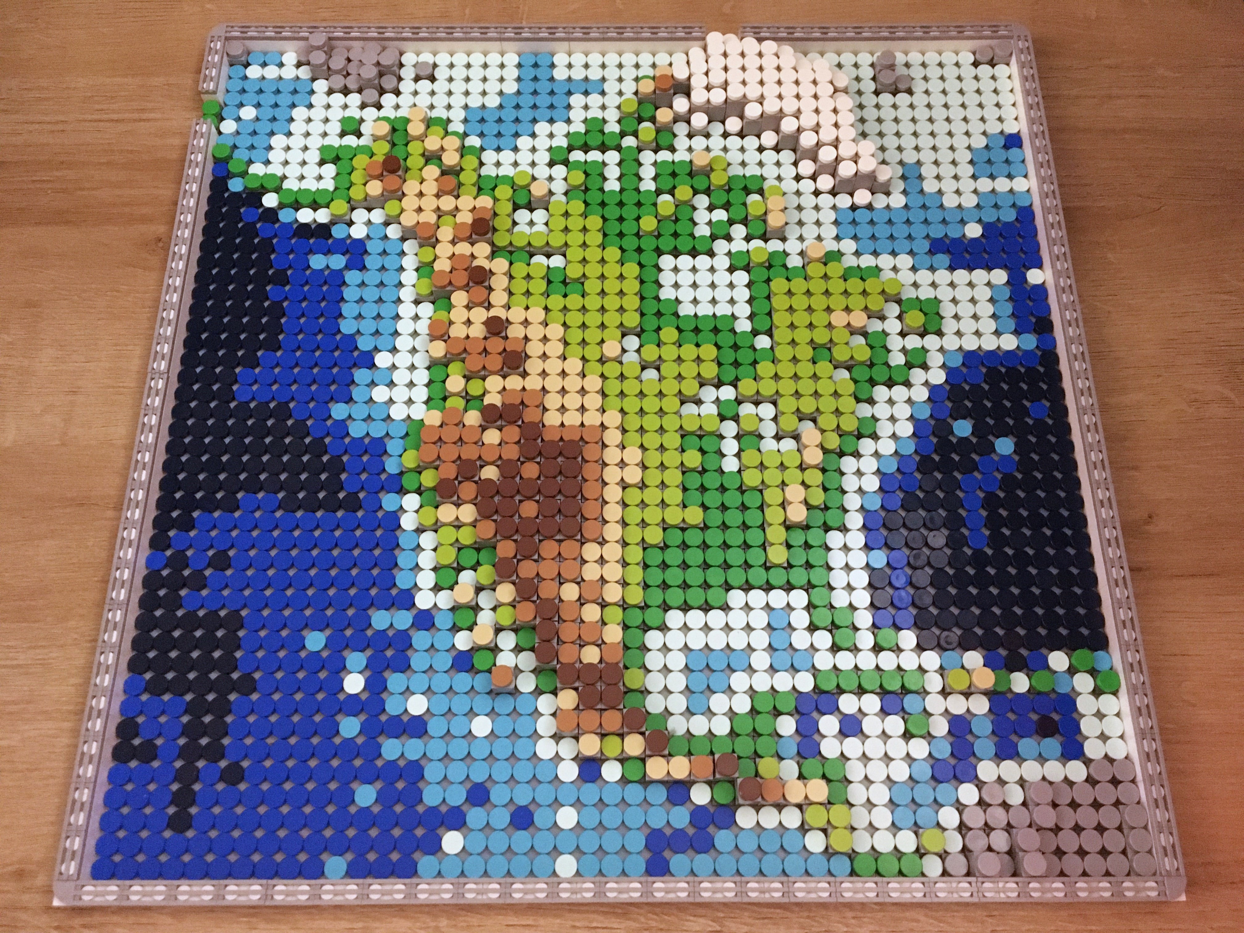 Download Full-Size Image
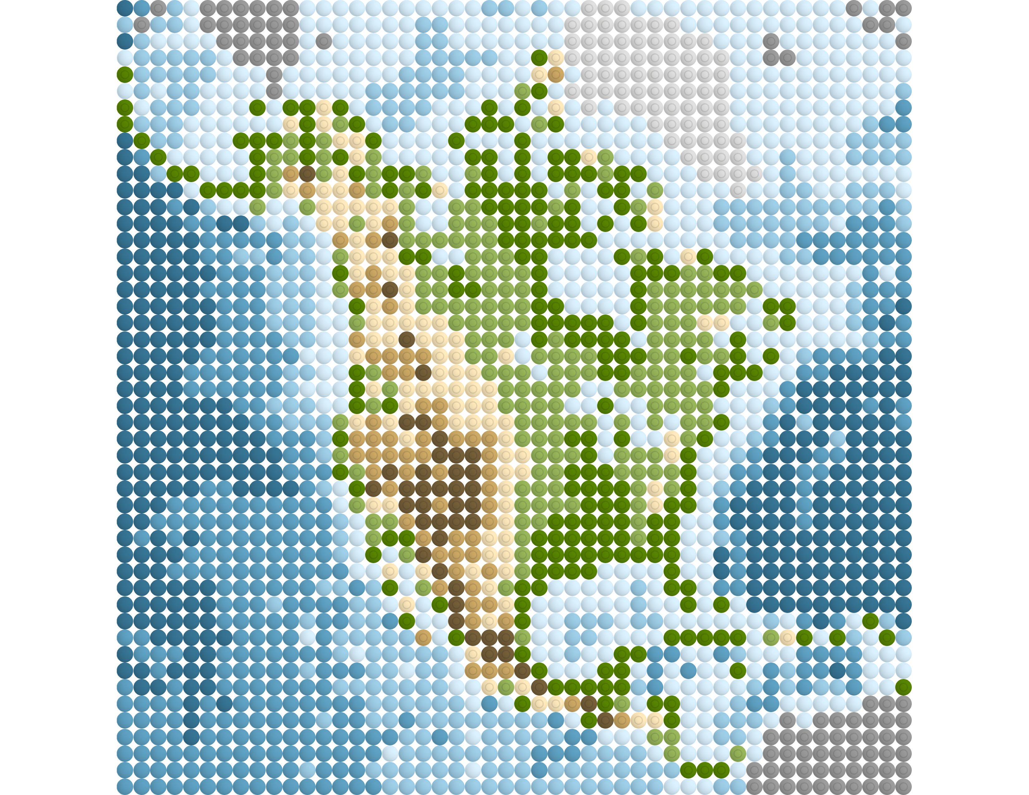
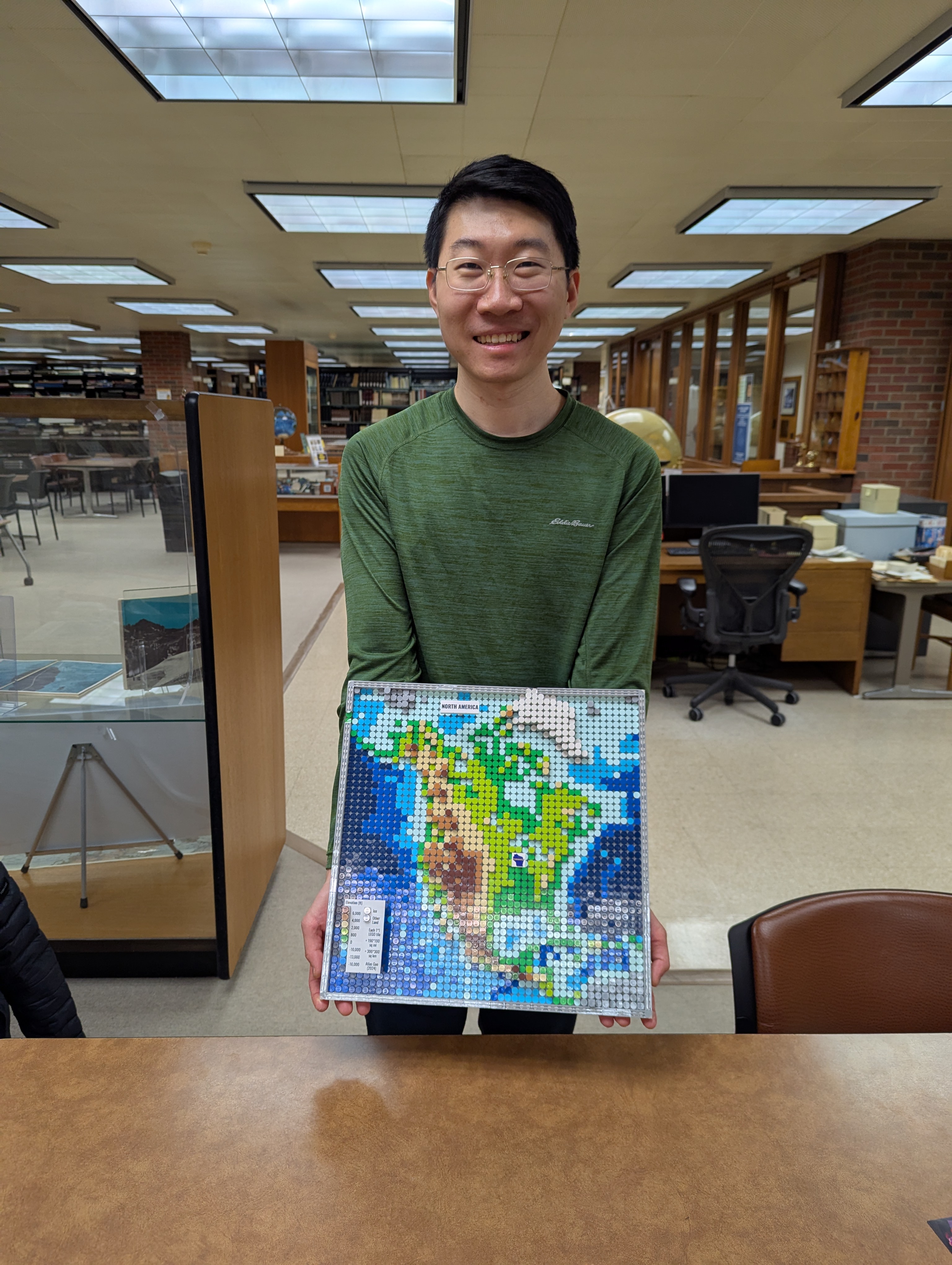
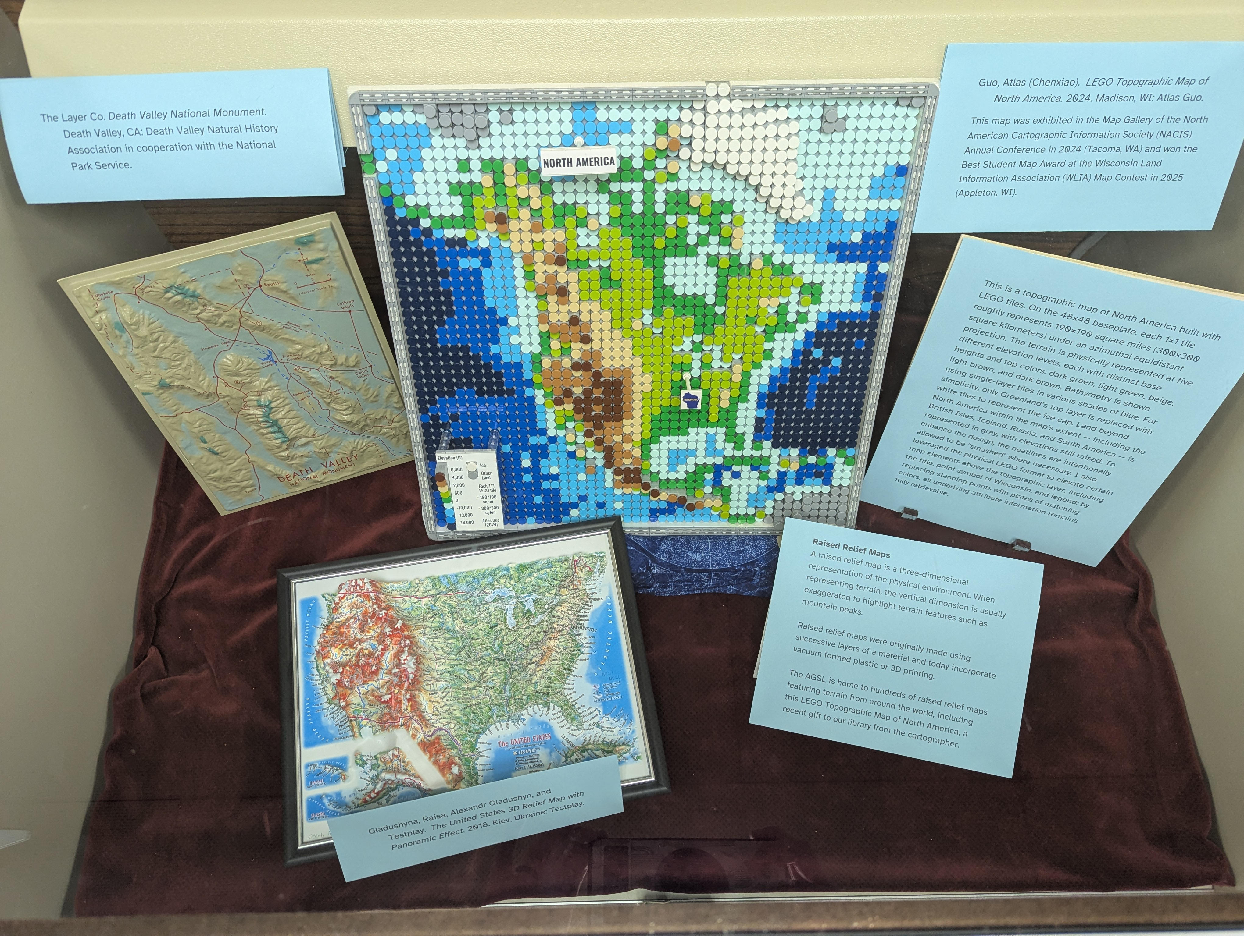
This is a fun topographic map of North America using LEGO tiles (flat top). On this 48*48 baseplate, each 1*1 tile roughly represents 190*190 sq mi (300*300 sq km) under an azimuthal equidistant projection. The terrain is physically represented at five different levels in elevation, which has different base heights and different color tiles at top: green, light green, beige, light brown, dark brown. The bathymetry is displayed in single layer tiles of different blue colors. For simplicity, Greenland’s top layer is replaced with white tiles representing the ice cap. Land beyond North America in this map extent is represented using gray color: British Isles, Iceland, Russia, and South America. Additionally, the neatline is smashed when necessary. Map elements in need might be provided separately (not shown in the first photo).
The physical LEGO map was displayed in the Map Gallery of North American Cartographic Information Society 2024 Annual Conference at Tacoma, Washington.
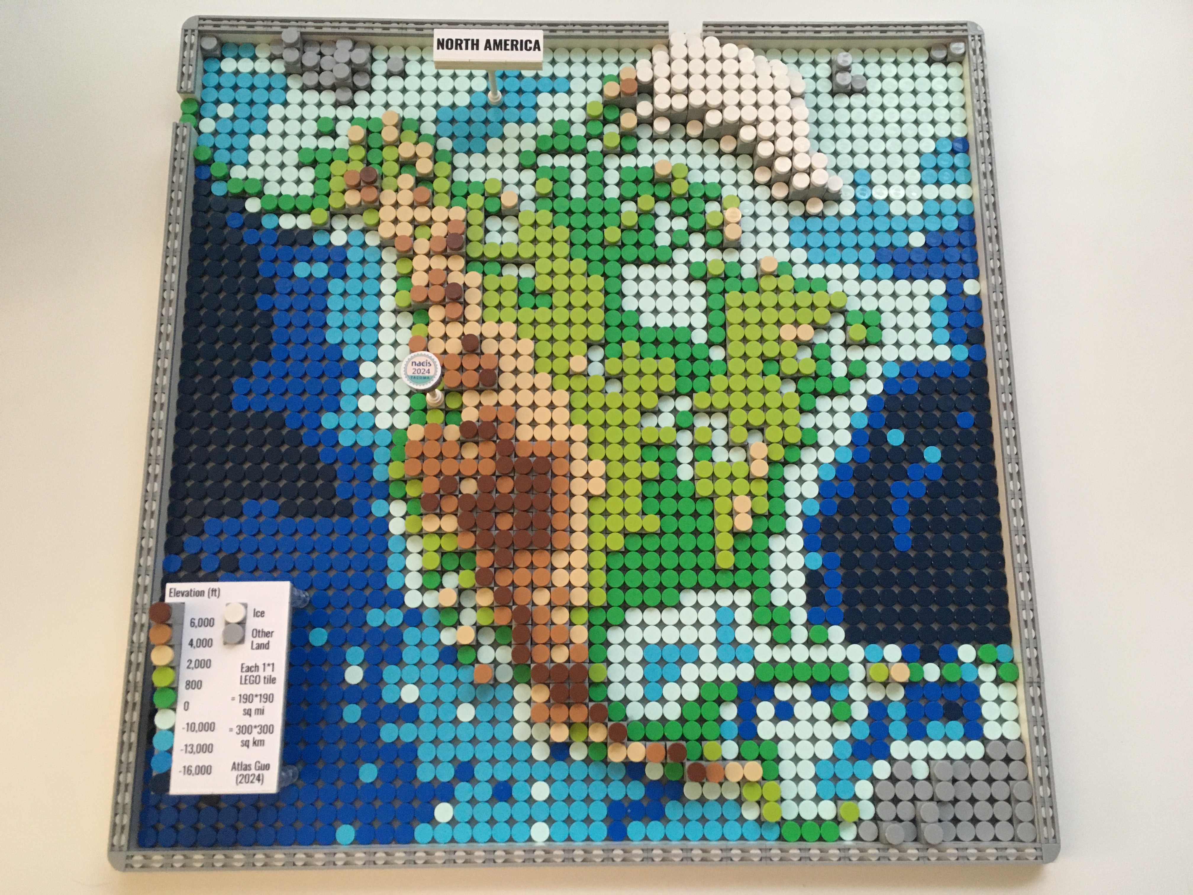
The title, point symbol of Tacoma (NACIS 2024), and the legend are displayed on float surfaces, while the terrain info below are still retrievable.
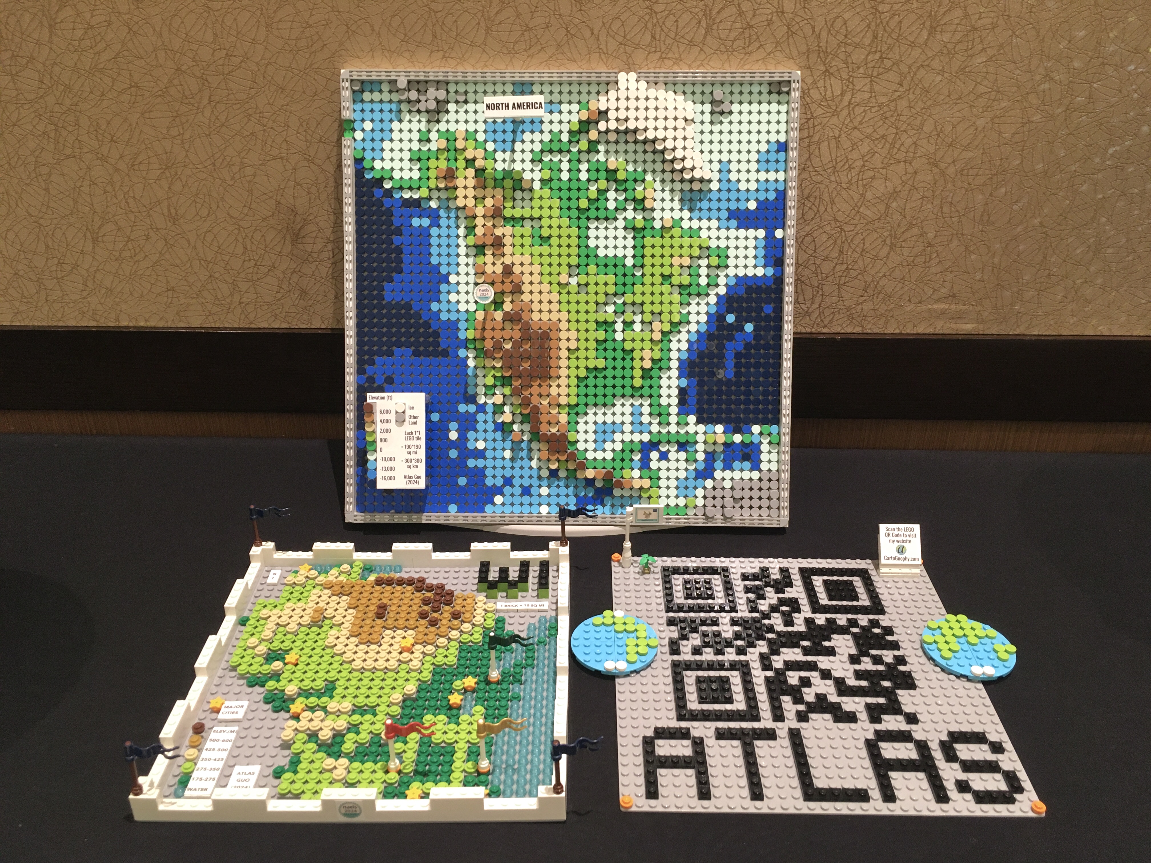
This map won the Best Student Map Award during Wisconsin Land Information Association (WLIA) 2025 Annual Conference Map Contest.

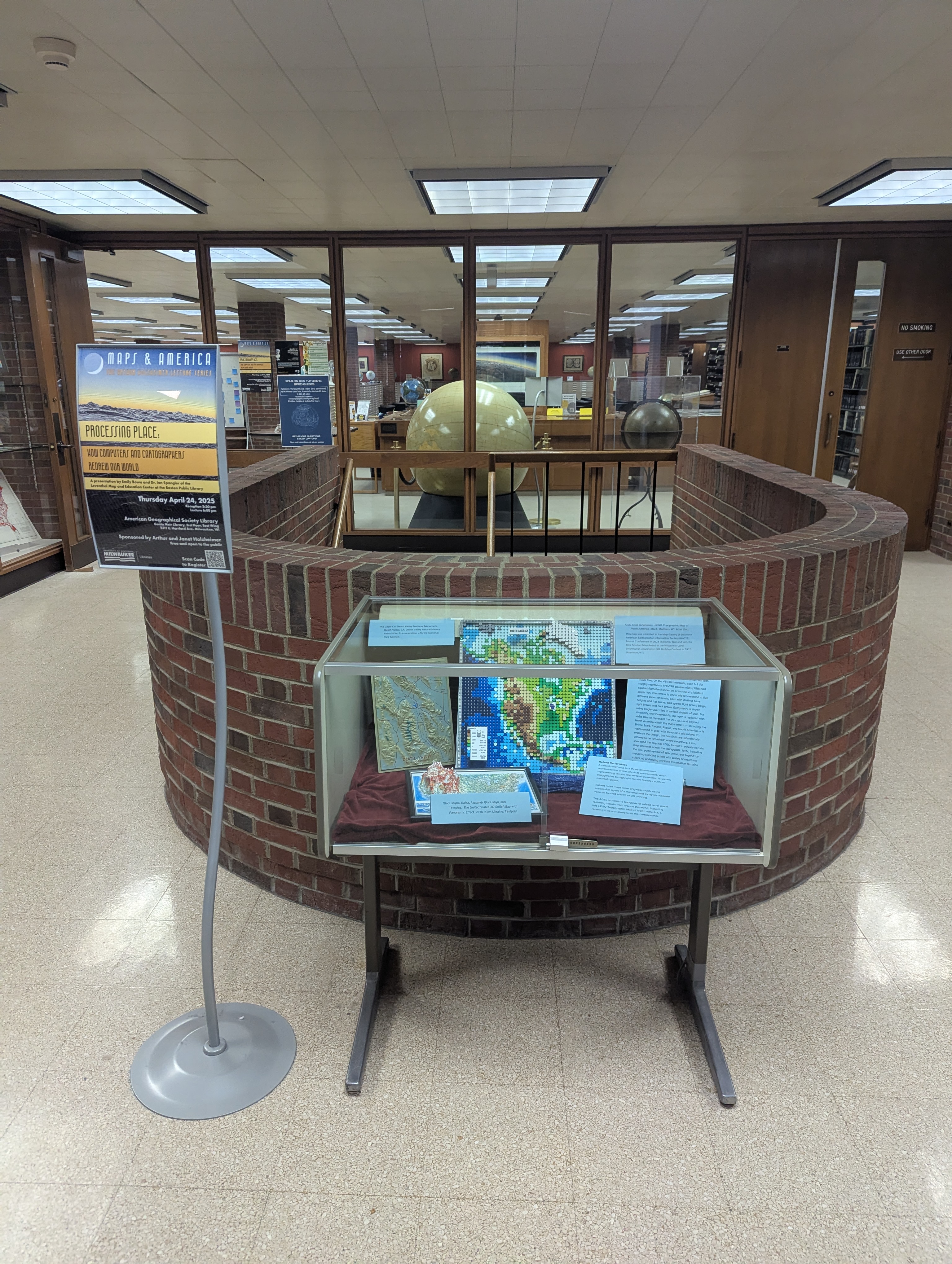
This map is now collected by the American Geographical Society Library (AGSL; located at UW-Milwaukee), at the display case of Raised Relief Maps before the entrance of the AGSL.
This map was featured on the Plenary Session of Esri User Conference 2025.

Click to view more of my LEGO-Style maps !