LEGO World Physical Map
Physical geography world map in Eckert III pseudo-cylindrical projection
 Download Full-Size Image
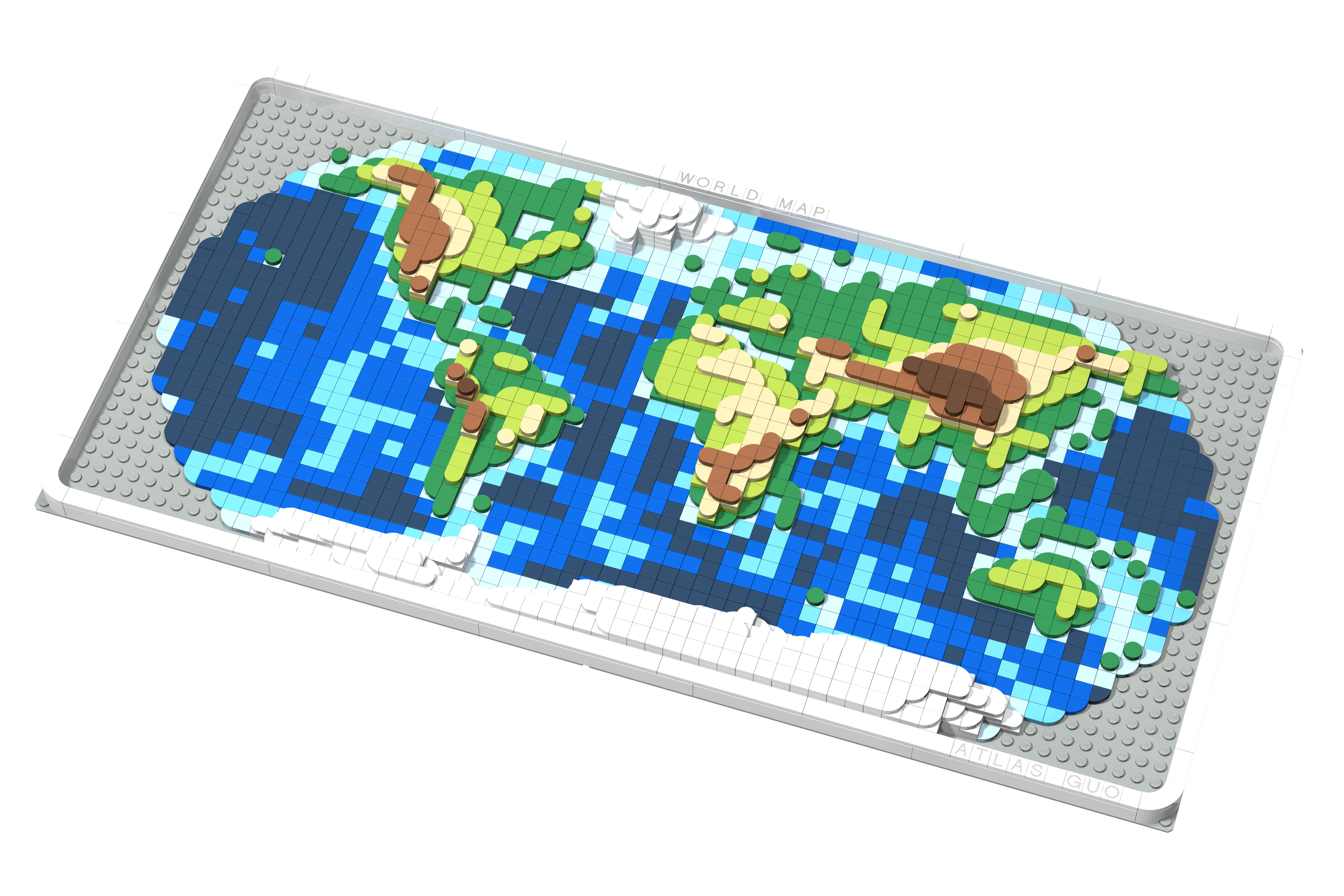
This world physical map is designed to be built on a 64x32 baseplate (or combined). With accurate geographic information of the averaged elevation, the land topography is represented using differently raised layers of curved tiles, while the bathymetry is displayed using differently shaded blue tiles. The map is using Eckert III pseudo-cylindrical map projection, where each tile on this map represents 6 degrees of latitude vertically, and each tile on the equator represents 6 degrees of longitude horizontally.
Click to view more of my LEGO-Style maps !