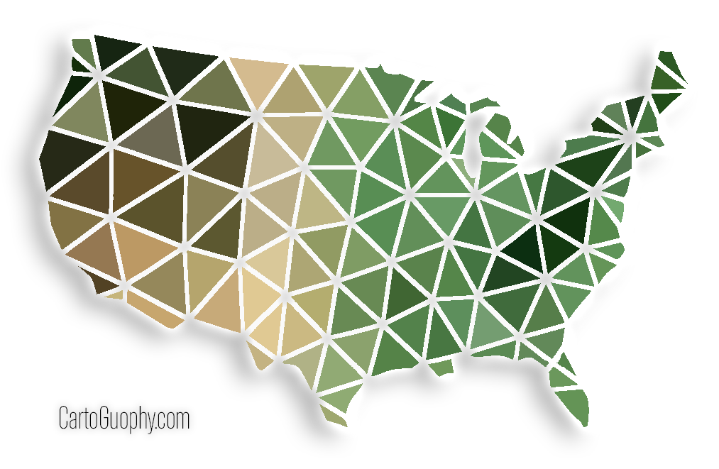
Low-Poly Style Graphic of Lower 48 States of the U.S.
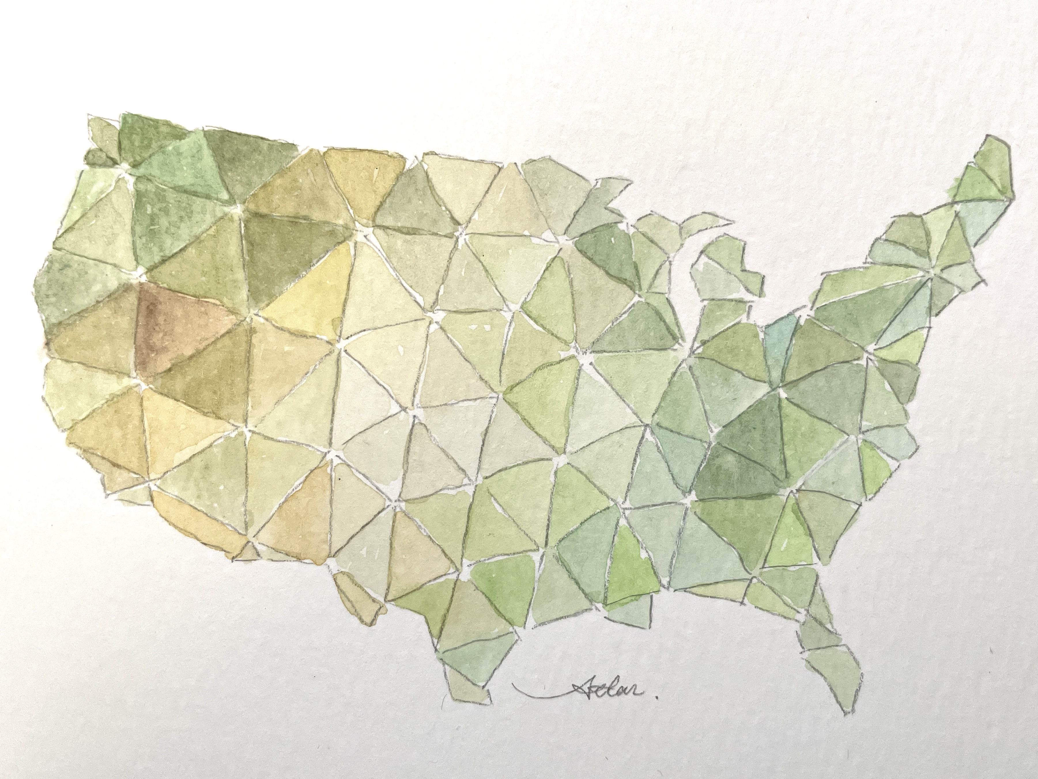
Digital graphic design followed by a watercolor painting version
 Download Image
I have always loved LowPoly graphics, so I asked ChatGPT to generate a triangle-based map of the United States and then filled each triangle in Photoshop with a single color roughly sampled from satellite imagery. It is abstract, simple, and surprisingly full of character.
 Download Image
After this version, I converted it into a simple watercolor painting with loose color control, broadly showing the terrain patterns previously derived from satellite imagery. It blends a simple, rough handmade look with a futuristic low-poly style, and it stays true to real geographic information from source data instead of the made-up details you often see in today’s AI-generated images (AIGC).