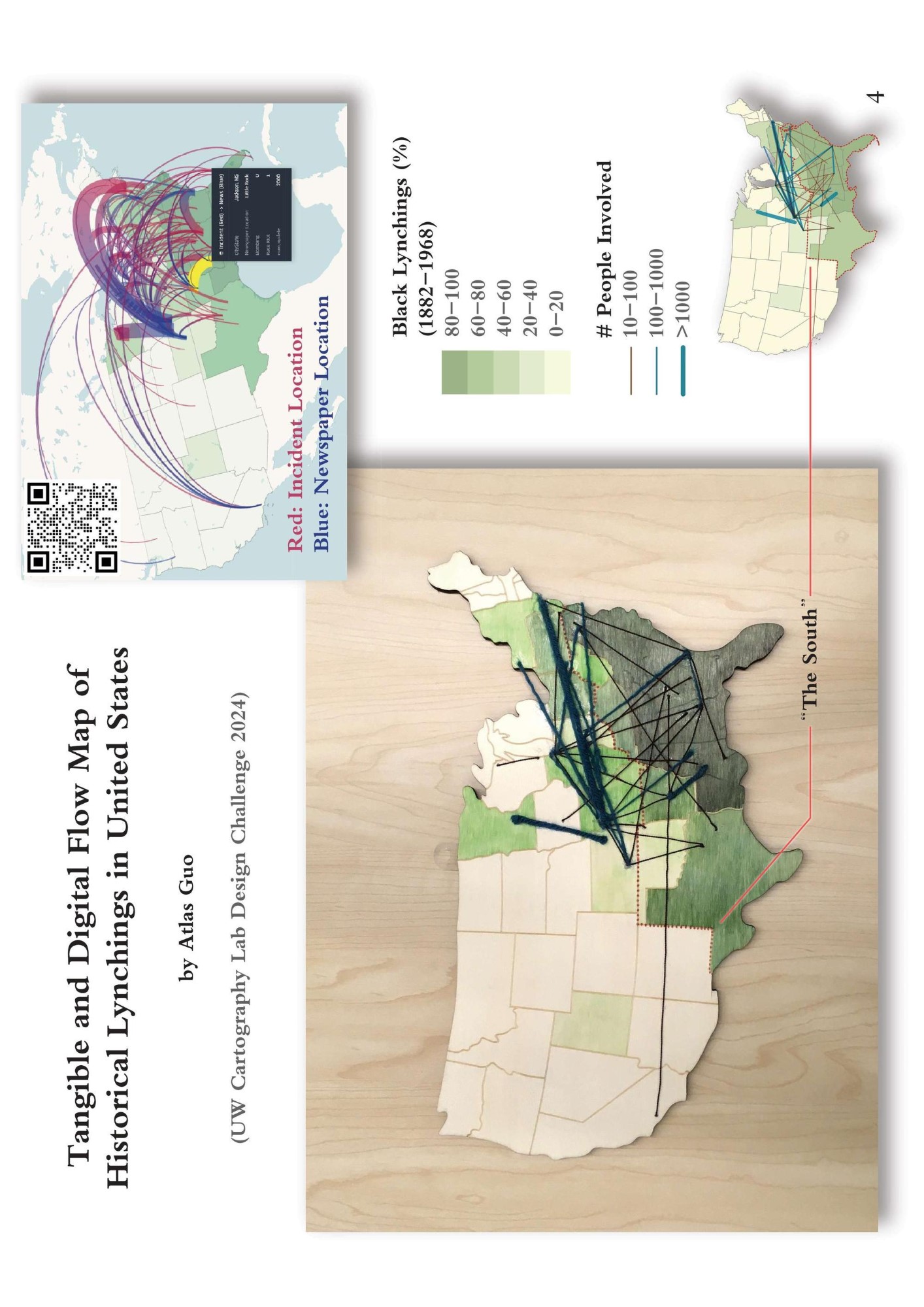
Mapping U.S. Historical Lynchings
Tangible and digital flow maps of incident sites and news; 2024 Design Challenge
 Download Compressed Image
Download Full-Size Image
This is the product of
2024
Design Challenge
by UW Cartography Lab. After processing the raw data, I firstly developed a web map using kepler.gl
visualizing the flows between incident locations and newspaper locations of
historical lynchings. Then, I created a static map, as the basis for the tangible version. Finally, I
used watercolor to paint a choropleth layer of % black lynchings on an empty
woodboard of contiguous U.S., and glued knitting wools of different colors and width to represent the
aggregated trajectories with different level of involved people.
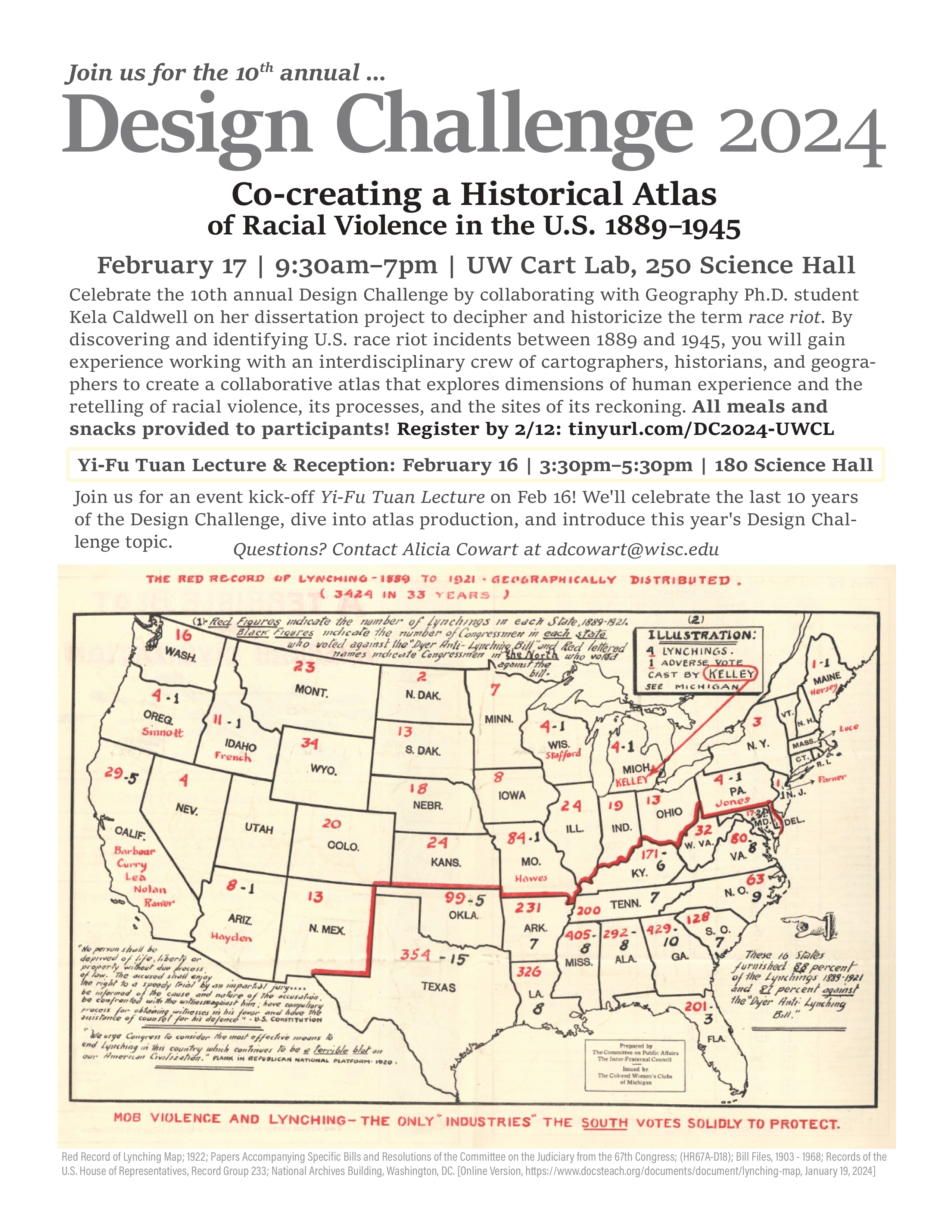
For more information about this event, check the poster below:
 Click here to view the
full atlas
of this event.
Click here to view the
full atlas
of this event.