LEGO Topographic Map of the British Isles
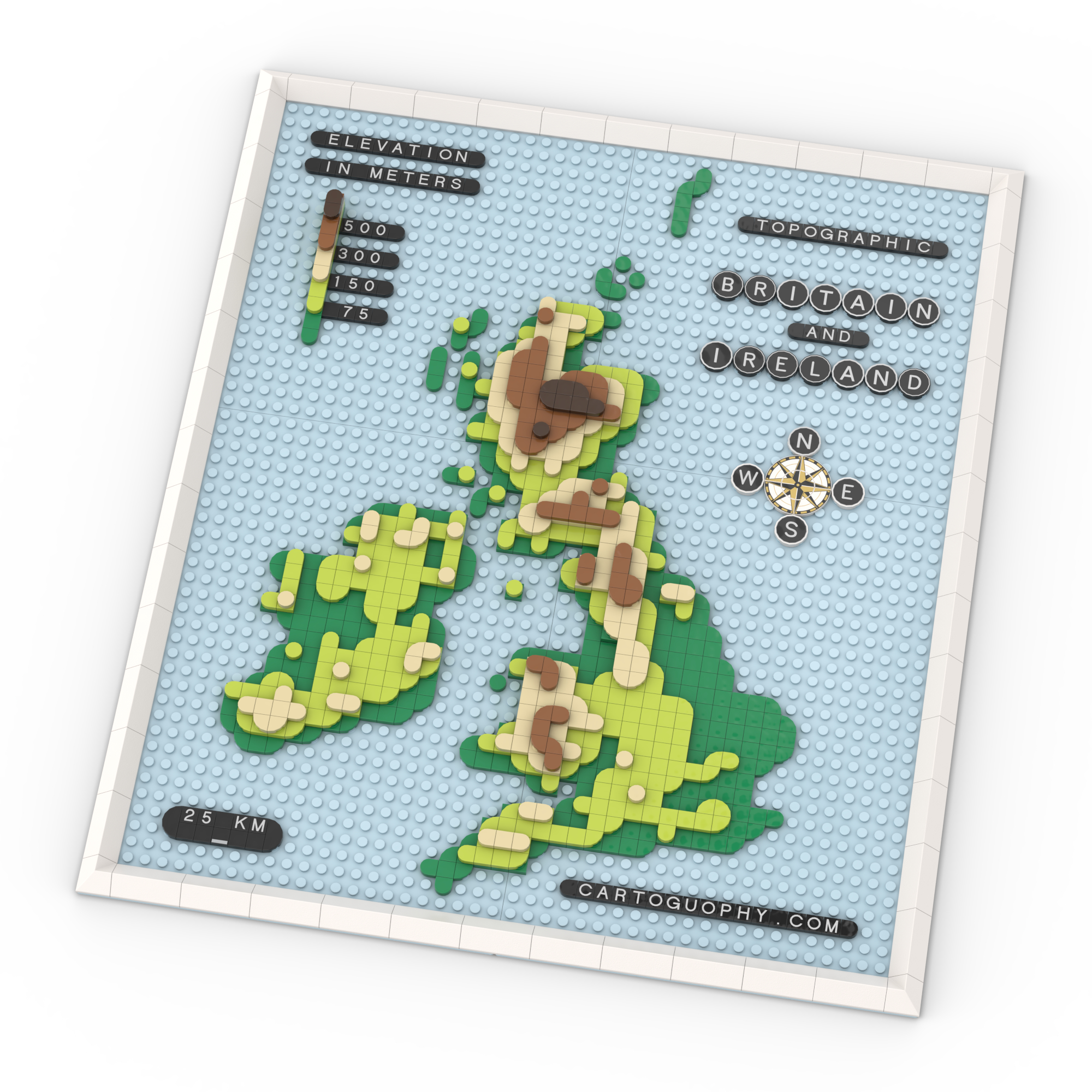
Terrain from Scottish peaks to English lowlands expressed through different heights
 Download Compressed Image
Download Full-Size Image
This topographic LEGO map of the British Isles emphasizes terrain and elevation variation across the region. Using different-colored curved tiles at varying heights, the map illustrates the mountainous regions of Scotland and Wales, the rolling countryside of England, and the diverse landscapes throughout. This three-dimensional approach makes geographic features tangible and visually engaging.
While this map reveals the land's physical character, the LEGO Map of the UK and Ireland tells a complementary story—showcasing how political boundaries carve the same landscape into distinct nations through colorful brick patterns.
Click to view more of my LEGO-Style maps!