LEGO Map of the UK and Ireland
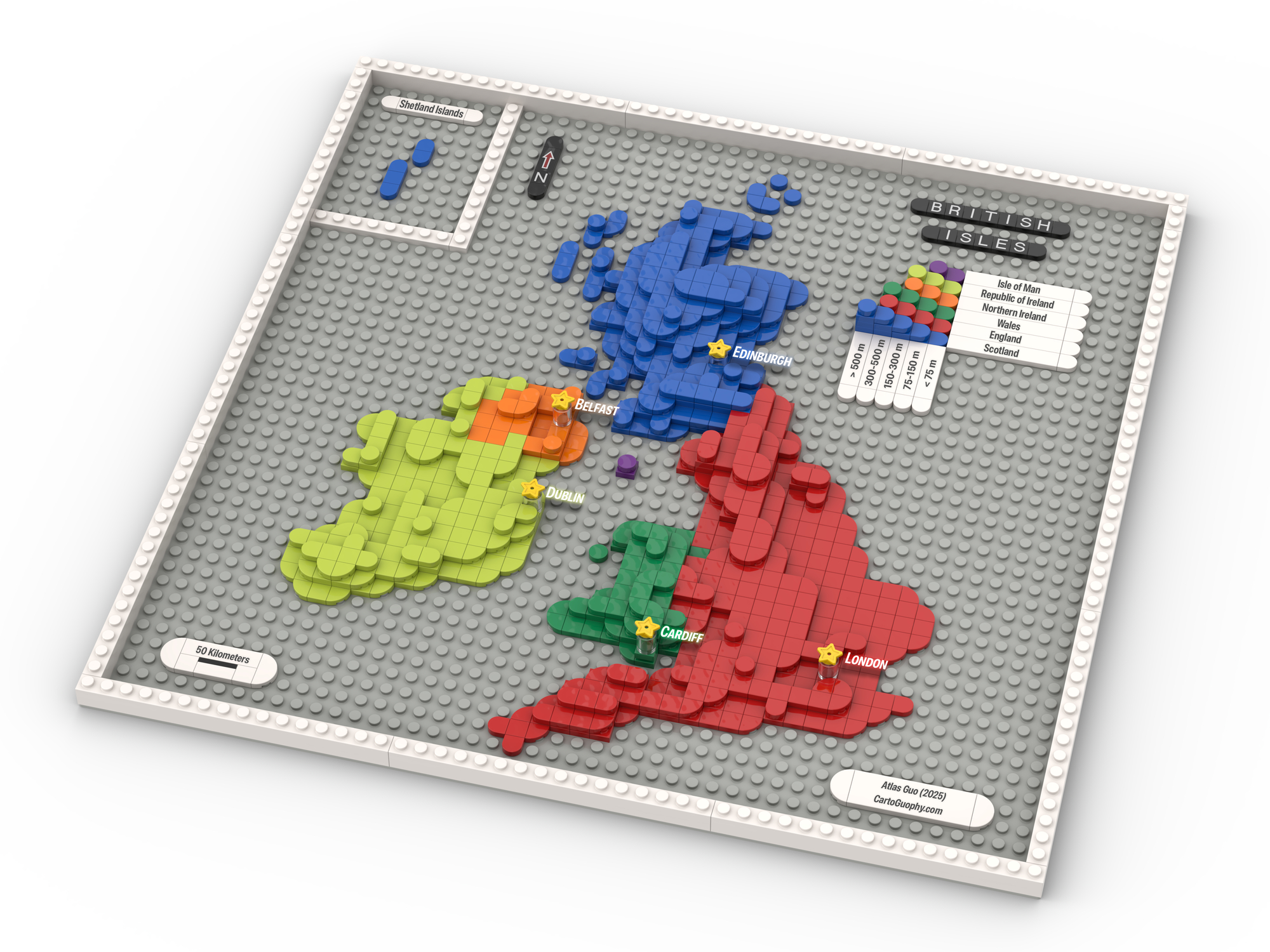
Four UK nations and Irish Republic distinguished through distinct brick patterns showing political and geographic divisions
 Download Compressed Image
Download Full-Size Image
This LEGO representation of the British Isles divides the region into its constituent countries—England, Scotland, Wales, Northern Ireland, Isle of Man, and the Republic of Ireland—using distinct colors and textures to highlight political boundaries with elevation information. The map demonstrates how LEGO can clearly delineate categorical regions while maintaining aesthetic appeal and cartographic accuracy.
For a different perspective of the same region, explore the LEGO Topographic Map of the British Isles, which shifts focus from political divisions to the dramatic physical terrain—from Scotland's soaring peaks to England's gentle lowlands.
Click to view more of my LEGO-Style maps!