Multi-Hazard Map Quilt for NACIS 2025
Contributing a tile visualizing the risks of multiple natural hazards
 Download Compressed Image
Download Full-Size Image
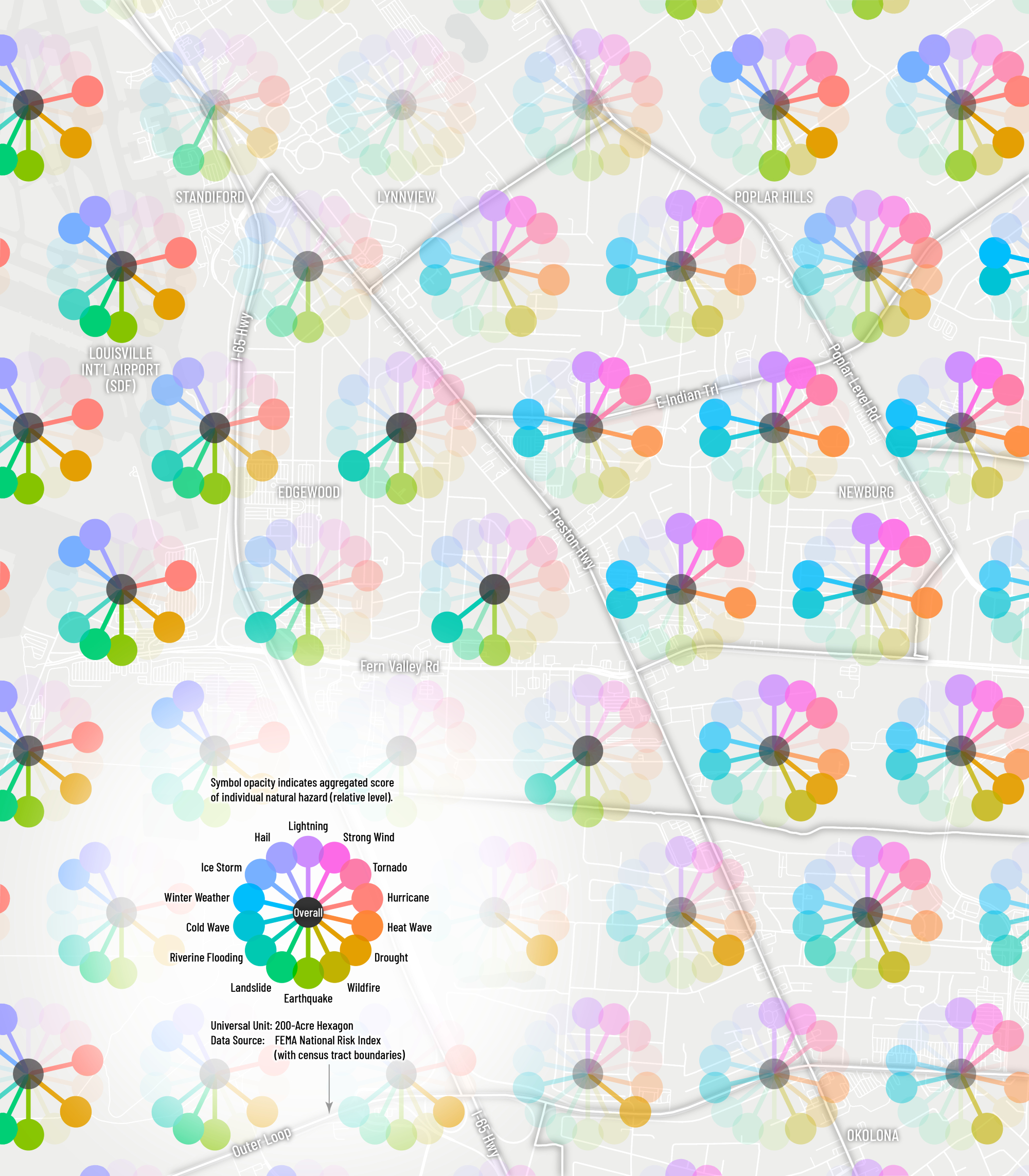
I contributed a map tile to the Map Quilt of NACIS 2025 Conference, displayed in the Map Gallery. It shows the area around Louisville, KY. The map is a multivariate visualization of natural hazards using FEMA's National Risk Index (NRI) dataset at census tract level. The map design is very similar to my map United States of Blooming Risks.
Below is the full version of the map quilt.
 Download Compressed Image
Download Full-Size Image
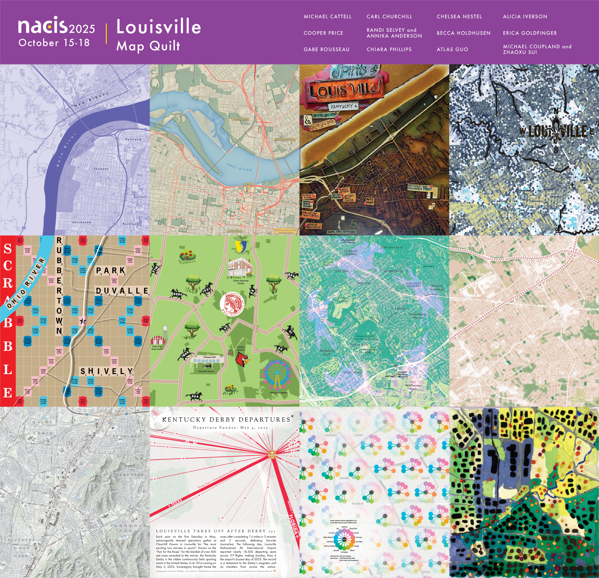
This map was displayed in the map gallery (map quilt) of North American Cartographic Information Society (NACIS) 2025 annual meeting at Louisiville, KY (Oct 15-17). Check out my other entries in the map gallery!