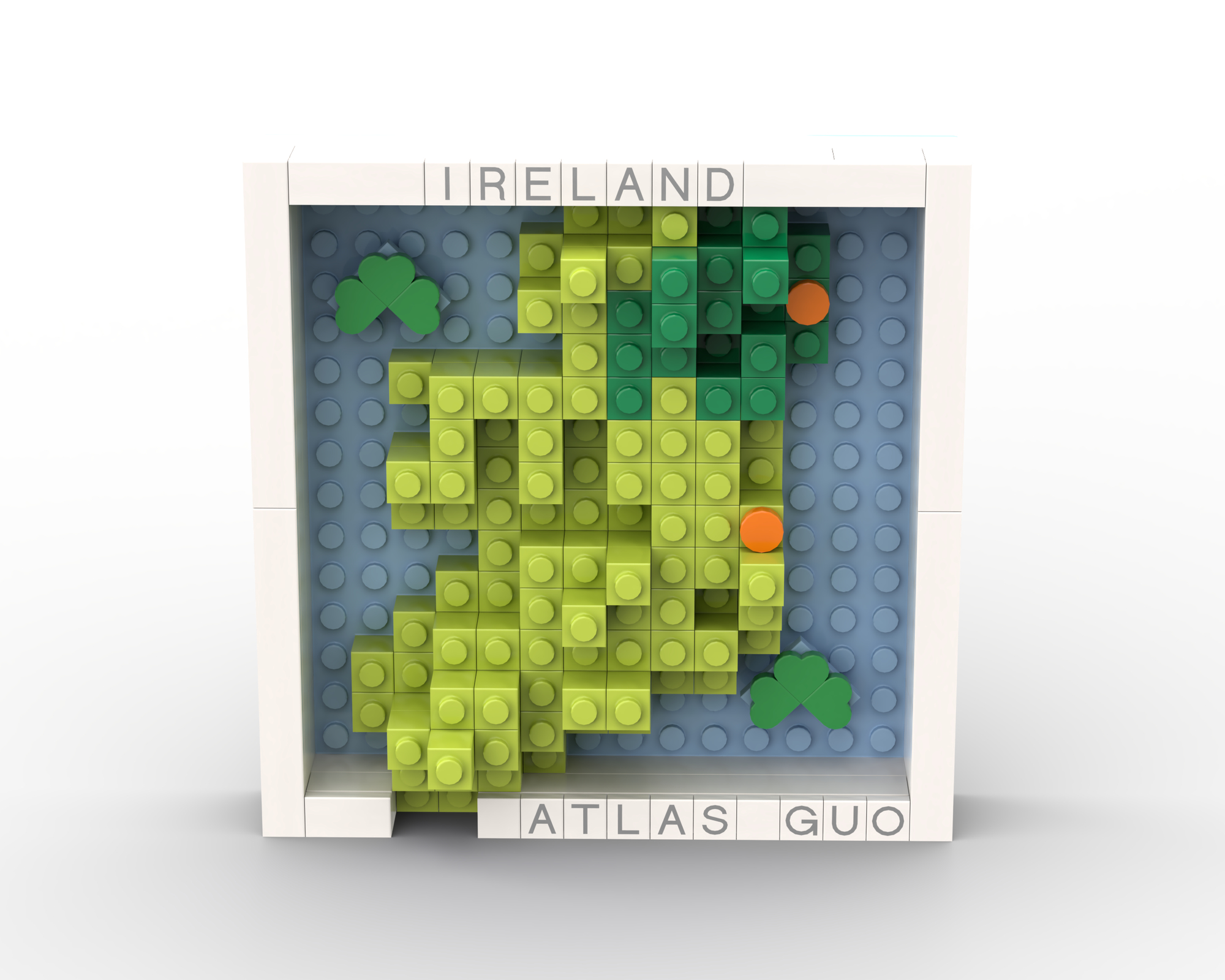
Mini LEGO Map of Ireland
Coastal cliffs and rolling hills transformed into layered brick elevations across the island in compact scale rendering
 Download Compressed Image
Download Full-Size Image
This LEGO topographic map visualizes the physical and political geography of Ireland Island, using stacked and layered bricks to represent elevation. The raised central plateau, coastal features, and regional landscapes are depicted through the creative use of colored LEGO bricks at different heights, creating an engaging three-dimensional perspective on the geography of the island.
Want to see Ireland in a broader context? Check out the LEGO Map of the UK and Ireland to see how the island fits within the political landscape of the British Isles, or explore the LEGO Topographic Map of the British Isles to discover the dramatic terrain variations across the entire region.
Click to view more of my LEGO-Style maps!